Fiddler’s Elbow, Quakers Yard
A Lost Community of the Taff Valley
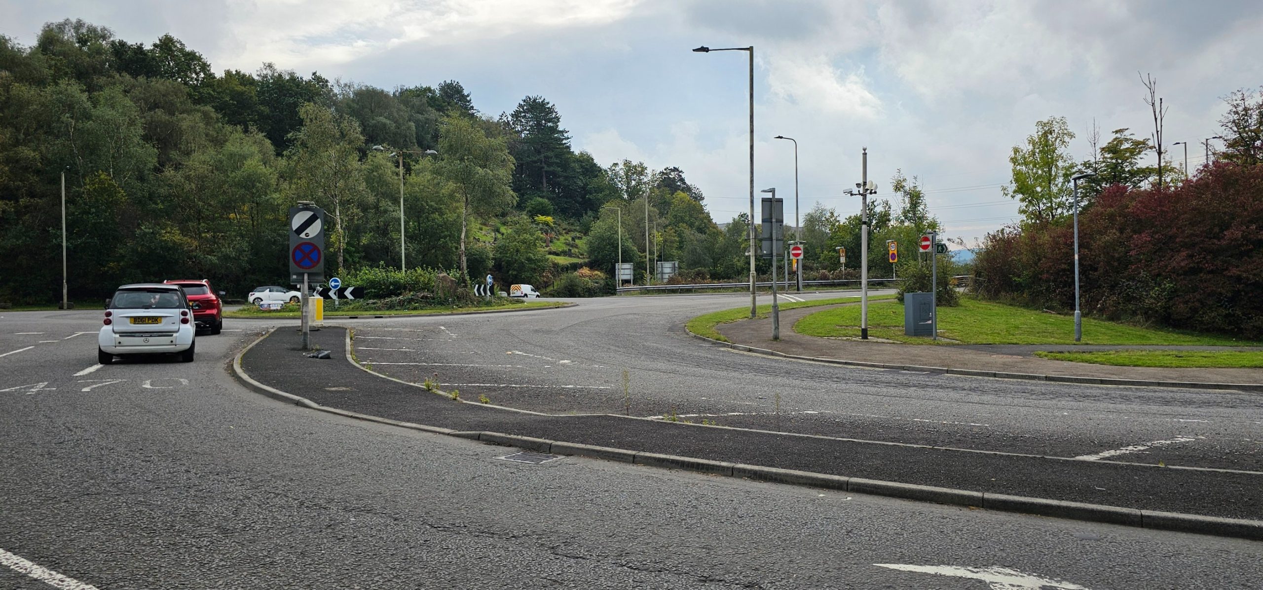
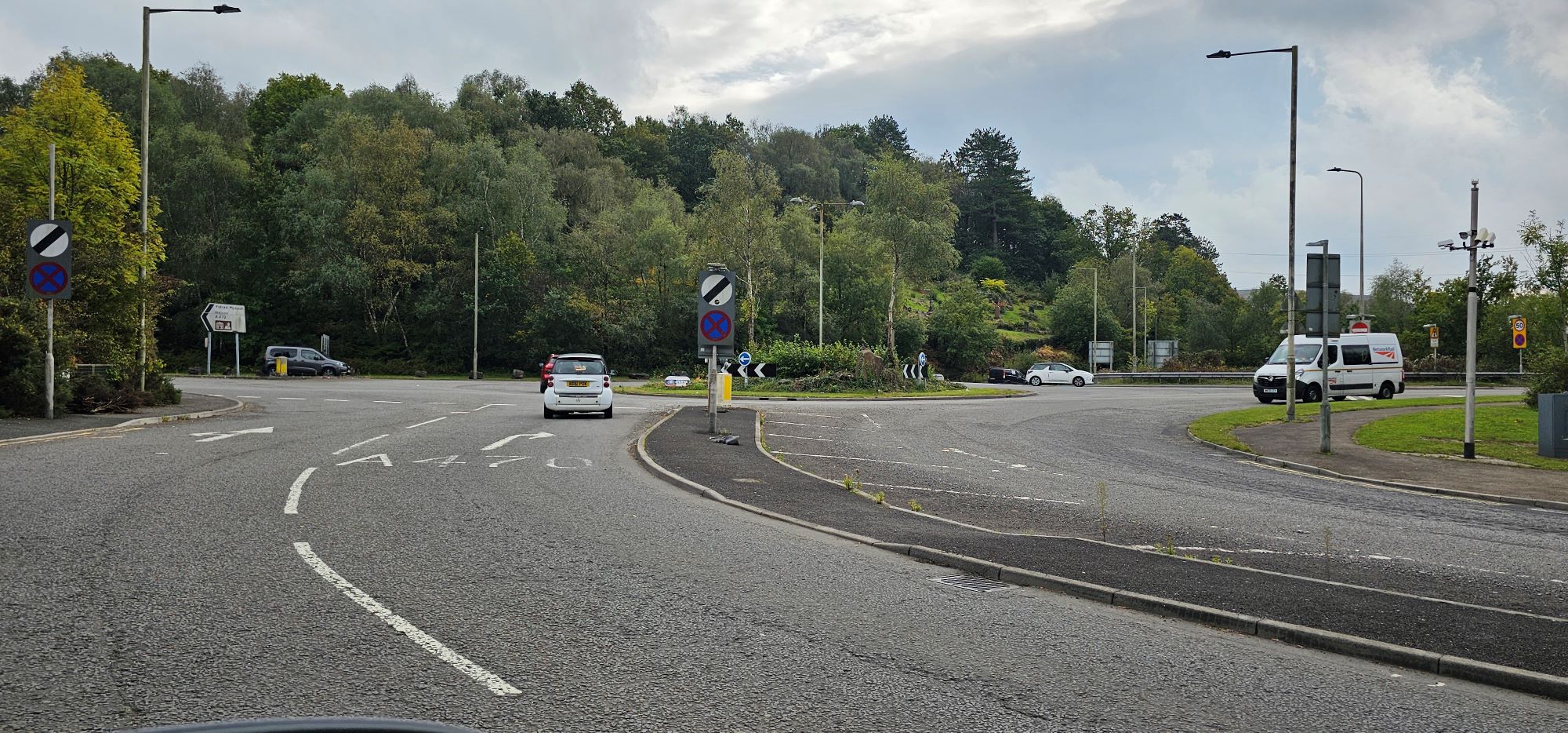
Today, Fiddler’s Elbow is best known as the busy road junction and roundabout linking Quakers Yard with the A470 and the A472. However, before the major road developments of the 1980s, Fiddler’s Elbow was a small but distinctive community in its own right.
Situated on the southern approach to Quakers Yard, on the old road towards Nelson and Llanfabon, the area included houses, a public house, a church and school, streams, railway infrastructure and remnants of the old industrial landscape. Much of what once stood there has now disappeared beneath or alongside the modern road system.
The Early Community
The area around Fiddler’s Elbow was established well before the late nineteenth century. Quakers Yard expanded rapidly following the arrival of the railway in 1858, becoming an important transport centre serving the industrial valleys of South Wales.
One of the earliest and most important landmarks was St Cynon’s Church. The foundation stones were laid in July 1861 and the church opened the following year. It was built to serve the growing local population at a time when the older parish church at Llanfabon was becoming increasingly distant from the expanding communities in the valley below.
Close by stood the Carpenters Arms, which became one of the best-known landmarks at Fiddler’s Elbow. The building appears to have been established by at least the middle of the nineteenth century. Local records relating to writer Isaac Hughes, who was born at Quakers Yard in 1852, suggest that he received some schooling in a schoolroom operating from the Carpenters Arms during his childhood.
This illustrates how important public houses could be to small communities during the nineteenth century. They were often more than drinking establishments and could serve as meeting places and social centres.
The Carpenters Arms
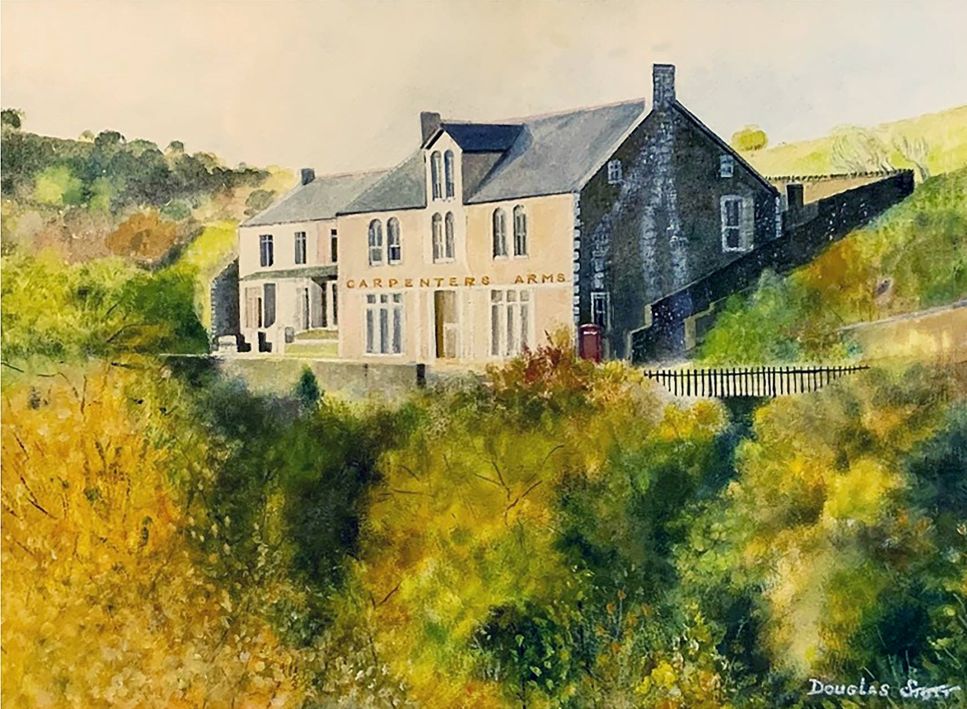
For generations, the Carpenters Arms was at the heart of Fiddler’s Elbow.
By the late nineteenth and early twentieth centuries it was one of several public houses serving the Quakers Yard district. Around the pub were a number of houses and cottages, creating a small but recognisable settlement.
Local historian Peter James remembered the Carpenters Arms as an important social centre and recalled houses standing immediately around it. The pub was also remembered for its sporting traditions, including a successful darts team.
The Carpenters Arms and the surrounding houses eventually disappeared during the extensive redevelopment of Fiddler’s Elbow in the 1980s.
Mabon Road and Mabon Cottages
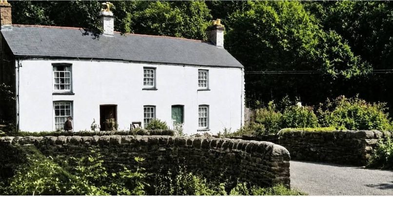
Travelling from Fiddler’s Elbow towards Nelson, a turning led into Mabon Road.
The road crossed Mabon Brook by a small bridge and nearby stood two houses remembered locally as Mabon Cottages.
Local memories recorded by Peter James identify several families who lived in this part of the community, although individual names are best treated as personal recollections rather than official records.
Further uphill stood Pentwyn Deintyr, another historic group of houses. This area is particularly well known locally as the birthplace of world flyweight boxing champion Jimmy Wilde, who was born there in 1892.
The road through Fiddler’s Elbow therefore formed an important route linking Quakers Yard with the communities situated higher on the hillside.
Railways and the Industrial Landscape
Fiddler’s Elbow occupied a particularly complicated part of the Taff Valley.
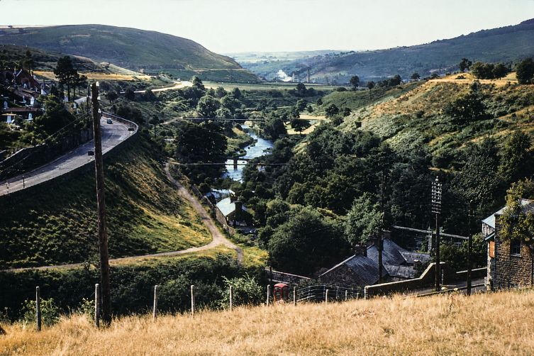
Within a relatively small area were roads, railway lines, bridges, streams, the River Taff and remnants of the Glamorganshire Canal system.
Quakers Yard developed into an important railway junction from the middle of the nineteenth century, with both High Level and Low-Level stations serving a network of routes through the industrial valleys.
The surviving landscape around Fiddler’s Elbow also contained remnants of earlier water systems connected with industry and the canal.
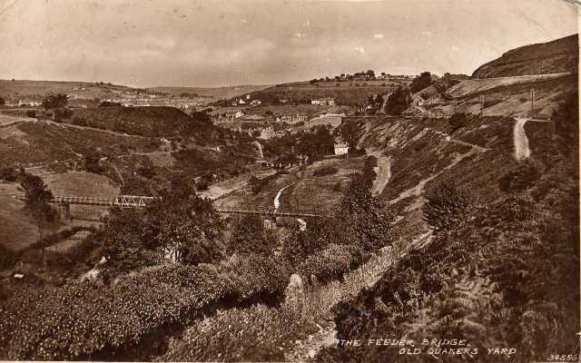
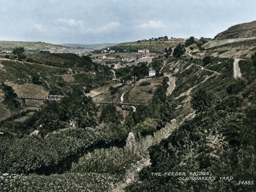
Local resident David Watkins remembered a canal feeder cottage, large iron water pipes and a narrow wooden bridge in the area. Such recollections provide a valuable glimpse of a landscape that is now very difficult to imagine.
Fiddler’s Elbow During the Second World War
One of the most interesting local memories concerns wartime defences at Fiddler’s Elbow.
David Watkins recalled being taken by his father during the 1940s to watch a Home Guard exercise near a concrete pillbox.
He also remembered large concrete blocks positioned close to the wall of St Cynon’s Church. According to his recollection, these blocks could be moved across the road to create a defensive roadblock.
The location would have been strategically important. Fiddler’s Elbow controlled one of the main approaches to Quakers Yard and was close to important railway routes and industrial facilities.
Although these details come from eyewitness recollection rather than surviving military plans, they provide an important record of how the area may have been defended during the Second World War.
There are also local memories of a building or hall beneath the old bridge that may once have been used for dances. This remains an interesting piece of local tradition rather than a fully documented fact.
Fiddler’s Elbow in the 1950s
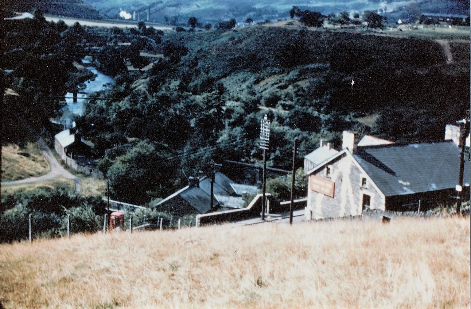
Carpenters arms and some of the houses below (Photo thansk to Ian Williams)
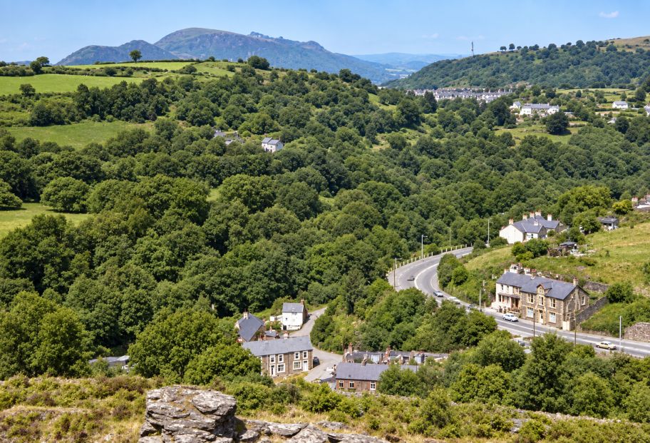
During the 1950s, Fiddler’s Elbow was still clearly recognisable as a small community.
Photographs from 1957 show buses travelling through the area long before the modern road system existed.
The old road passed through a much narrower landscape of cottages, walls, trees, the Carpenters Arms and St Cynon’s Church.
Traffic moved directly through the settlement rather than across the wide roundabout and dual carriageway seen today.
For anyone familiar only with modern Fiddler’s Elbow, these photographs give a striking impression of how different the area once looked.
Changes During the 1960s and 1970s
The wider Quakers Yard area began to change significantly during the 1960s and 1970s.
Quakers Yard High Level railway station closed in 1964 as part of the major reduction of Britain’s railway network.
Road improvements also began altering the old valley routes.
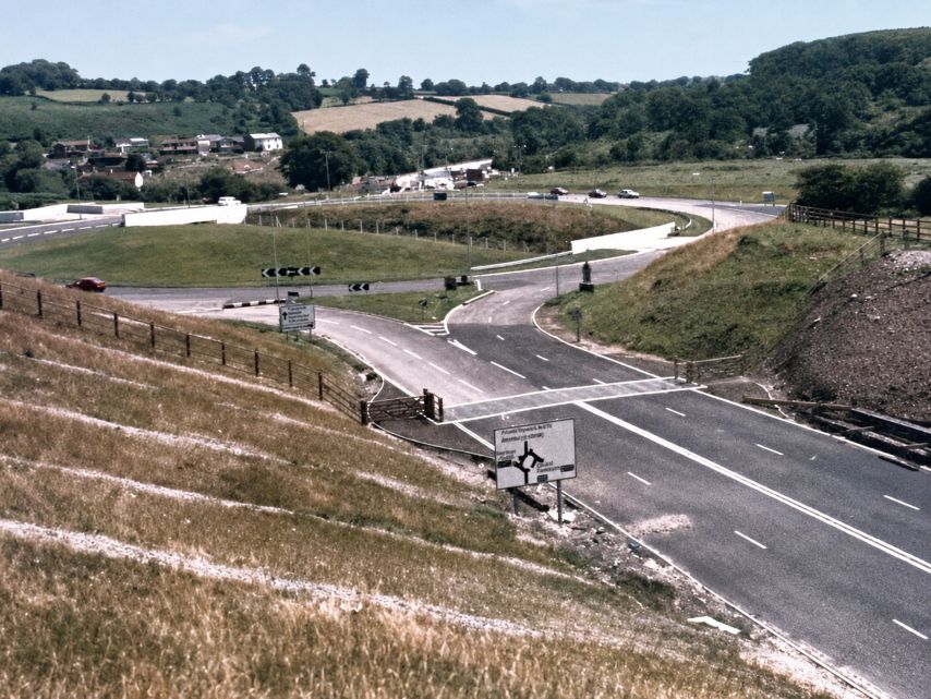
An especially valuable photograph from 1976 is described as showing “Fiddlers Elbow before the changes”. It records the area shortly before the major redevelopment of the following decade.
By this time some other parts of old Quakers Yard had already disappeared. For example, photographs show that houses in Mill Road were being demolished by 1976.
This is important because not every demolished building in the wider area disappeared as a direct result of the later A470 and A472 works.
The Transformation of Fiddler’s Elbow
The greatest change came during the early 1980s.
Major road construction began to create a new link between Fiddler’s Elbow and the A470.
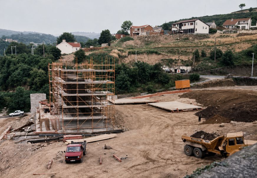
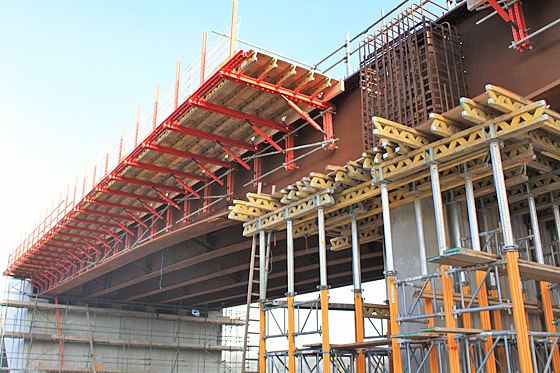
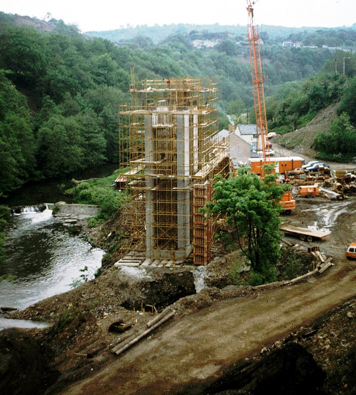
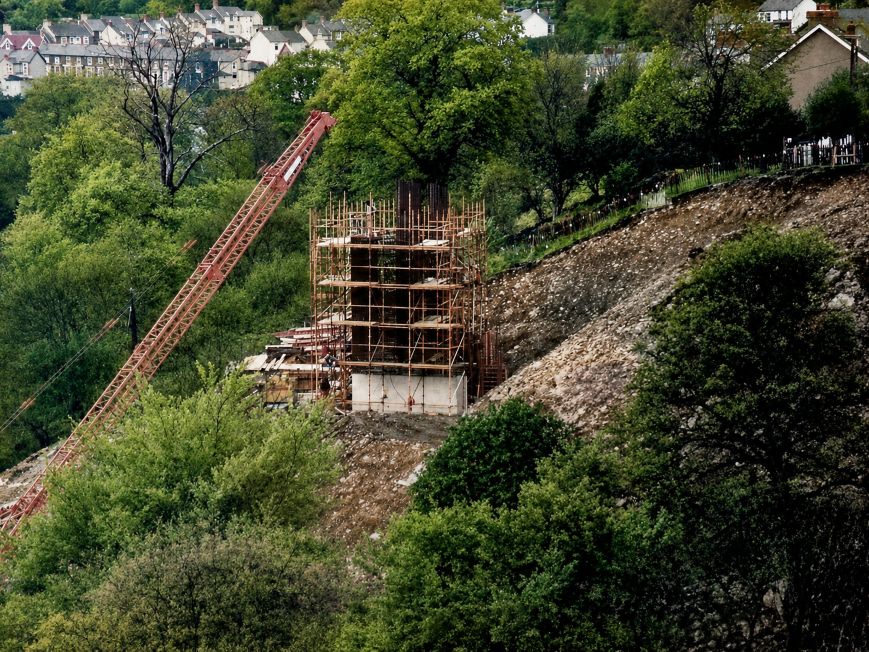
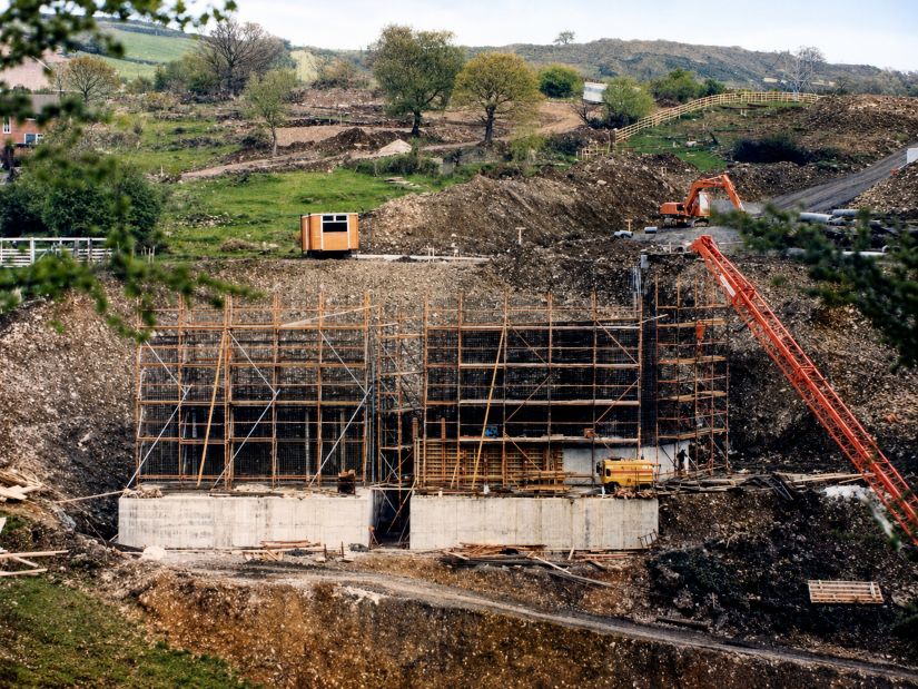
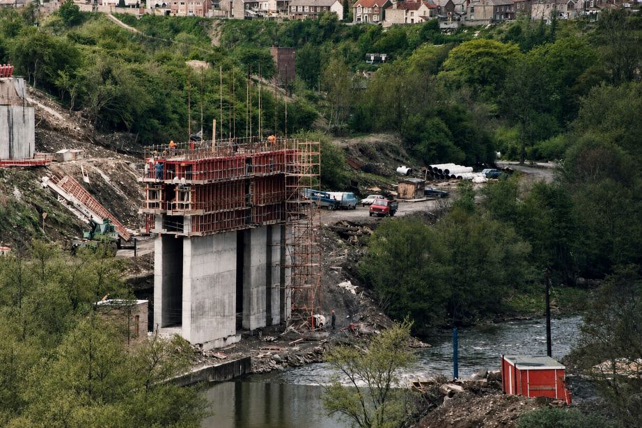
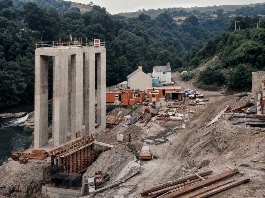
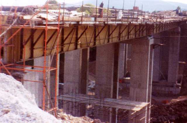
Photographs from the period show site offices, bridge construction, earthworks and major alterations to the old road layout.
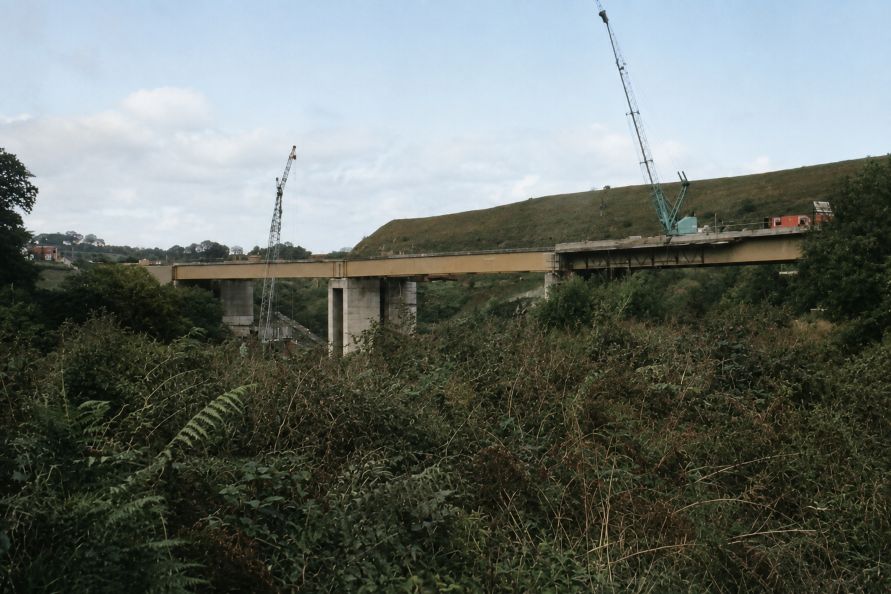
Work on the new bridge was underway by around 1982.
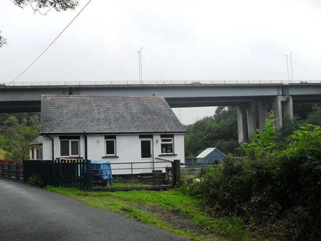
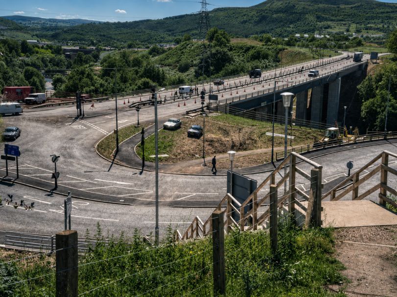
The resulting Fiddler’s Elbow Viaduct carries the A472 across the River Taff and connects the Quakers Yard side of the valley with the A470 near Abercynon.
The road was in use by about 1985.
The scale of the development completely altered the character of the area.
The old Carpenters Arms disappeared, along with houses and cottages forming the small community around it. Roads were widened and realigned, and much of the older landscape was either removed or incorporated into the new road system.
What Was Demolished?
It is possible to identify some of the buildings and features lost during the redevelopment, although care is needed when attributing every demolition directly to the road scheme.
The Carpenters Arms and houses immediately surrounding the old Fiddler’s Elbow settlement disappeared during the redevelopment of the 1980s.
Mabon Cottages also disappeared, although further documentary evidence would be needed to prove whether they were removed specifically as part of the A470 and A472 road works.
Mill Road houses had already begun disappearing before the main road project and therefore should not automatically be included among buildings demolished for the Fiddler’s Elbow development.
St Cynon’s Church also survived the road works and remained standing until 1989.
The Lost Landscape
Modern Fiddler’s Elbow gives very little indication of the community that once existed there.
Within a relatively small area were the Carpenters Arms, St Cynon’s Church and school, houses and cottages, Mabon Brook, Mabon Road, Pentwyn Deintyr, railway structures, industrial water systems and wartime defensive features.
It was a landscape shaped by transport and industry, but also by everyday community life.
Families lived there, children attended the local school, people gathered at the Carpenters Arms, worshippers attended St Cynon’s Church and buses travelled along the narrow road towards Nelson and the surrounding villages.
The construction of the modern road system transformed the area almost beyond recognition.
Remembering Fiddler’s Elbow
Old photographs are now among the most important records of Fiddler’s Elbow.
Images from the 1950s show the community before major redevelopment. Photographs from 1976 record the area immediately before the changes, while pictures taken between 1980 and 1985 show the construction of the new road and bridge.
Together, these photographs preserve the story of a small South Wales community that largely disappeared beneath one of the most important road developments in the Taff Valley.
Today the name Fiddler’s Elbow survives in the roundabout, bridge and surrounding road network.
For older generations, however, Fiddler’s Elbow meant something very different: a pub, a church, cottages, narrow roads and a close-knit community on the edge of Quakers Yard.
Although much of the physical settlement has disappeared, its history remains an important part of the story of Quakers Yard and the wider Taff Valley.
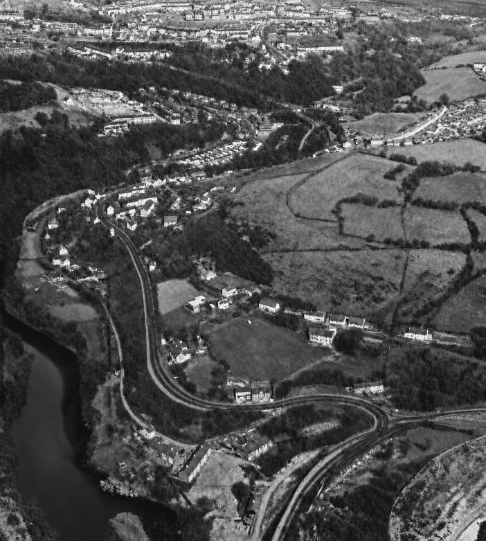
We will start with the oldest photos I have of the area and an aerial view unsure of date
The feeder bridge looking towards Quakers Yard from Abercynon with AI colour below it
Approaching Fiddler’s Elbow from Quakers yard
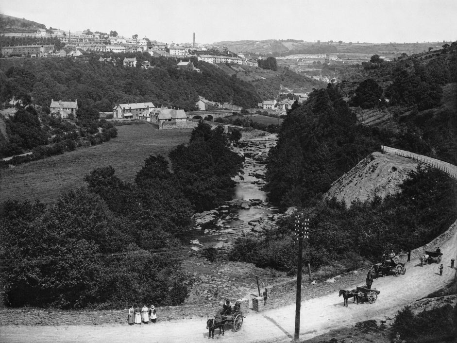
Penteyn Deintyr below two old images
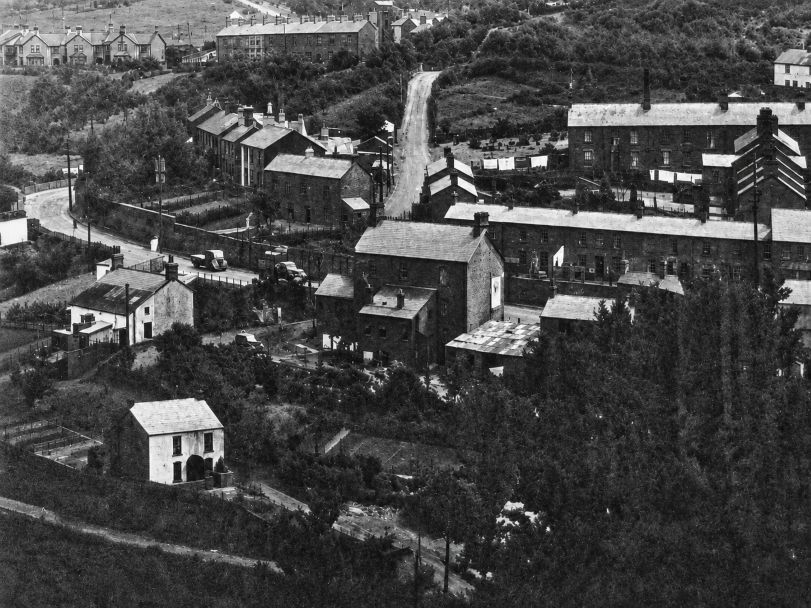
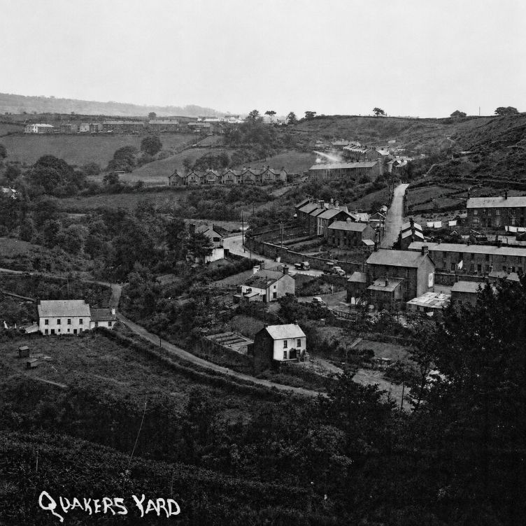
Mill Terrace or the Pond houses near the weir , some also called it the Wendy sadly all gone now.
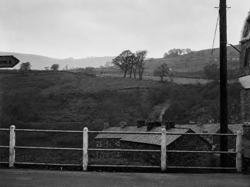
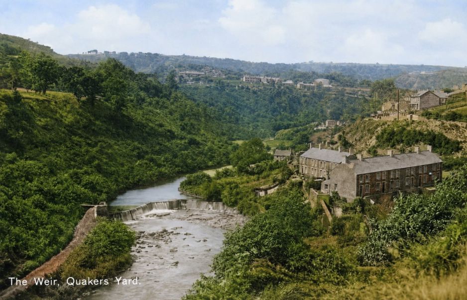
Carpenters Arms to the right above Mill Terrace just before Fiddler’s Elbow
The next are stills from a film approx 1958 of buses in the Fidller’s elbow area.
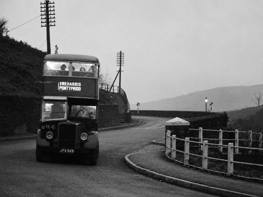
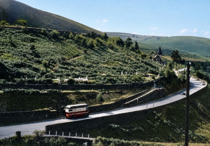
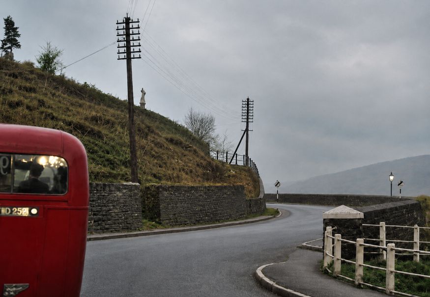
St Cynon’s Church and School
St Cynon’s Church was another major feature of the old community.
The church was closely connected with local education, and a school operated alongside it for many years. The school eventually closed in 1949 and was reportedly the last Church School operating within the borough at that time.
St Cynon’s played an important part in the social life of the community as well as its religious life. At different times the church was associated with activities including a brass band and football club.
Importantly, St Cynon’s Church was not demolished to make way for the new A470 and A472 road development.
The church remained standing after the new road had been constructed. It finally closed in March 1986 and, after suffering vandalism and deterioration, was demolished in late 1989.
One of its surviving features, a sculpture of the Good Shepherd, was later transferred to St Matthias Church in Treharris.
The next set of photos are taken opposite or near the old church and school
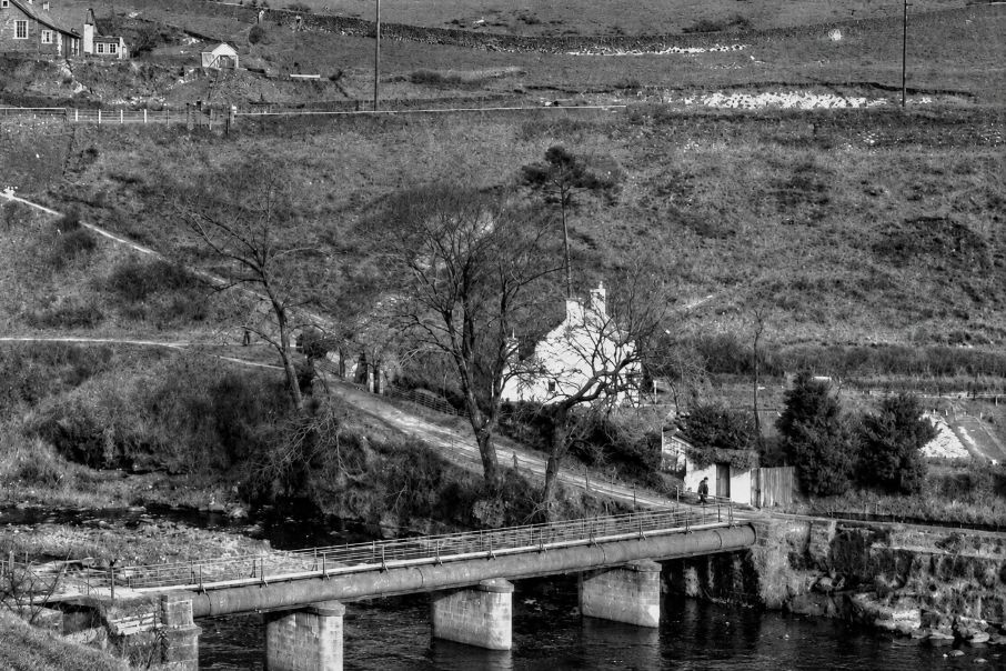
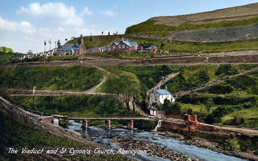
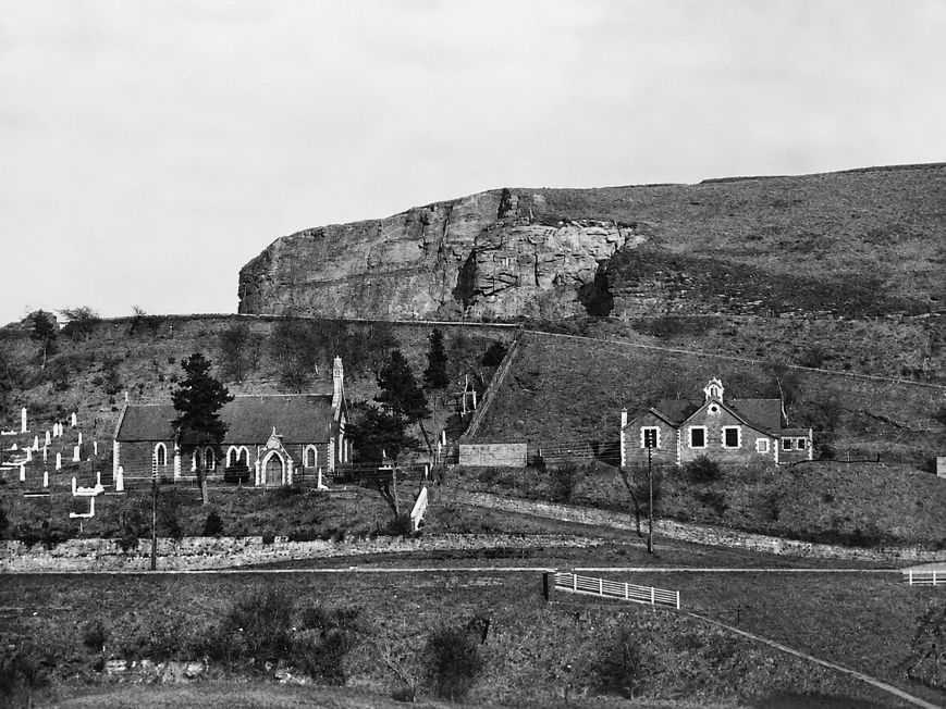
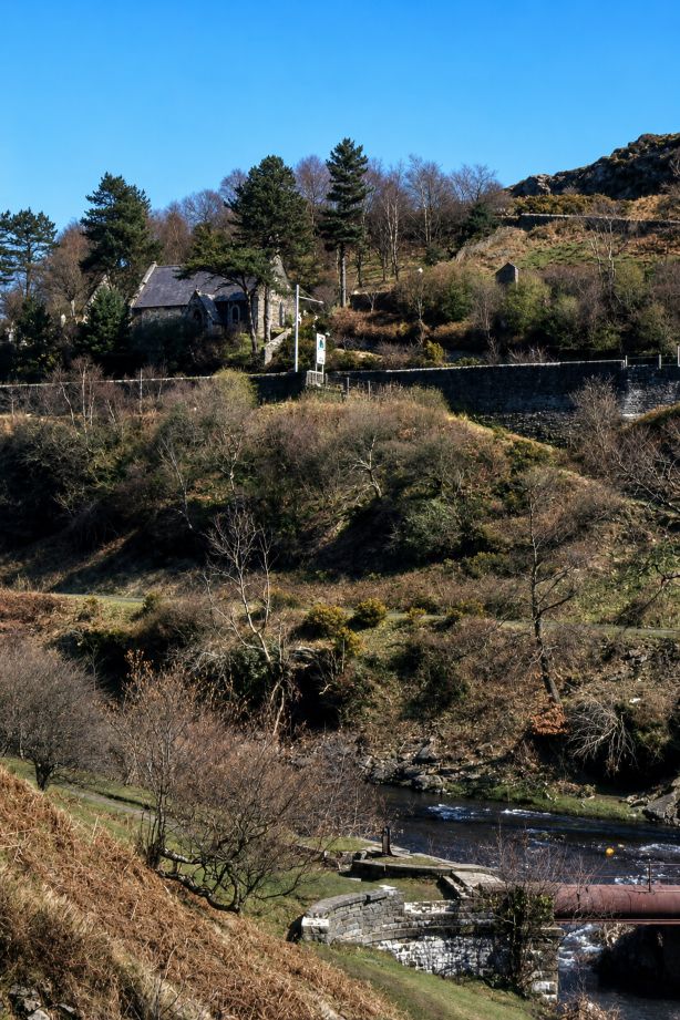
This one below is looking across towards Quakers Yard from Abercynon direction, With Church on the right
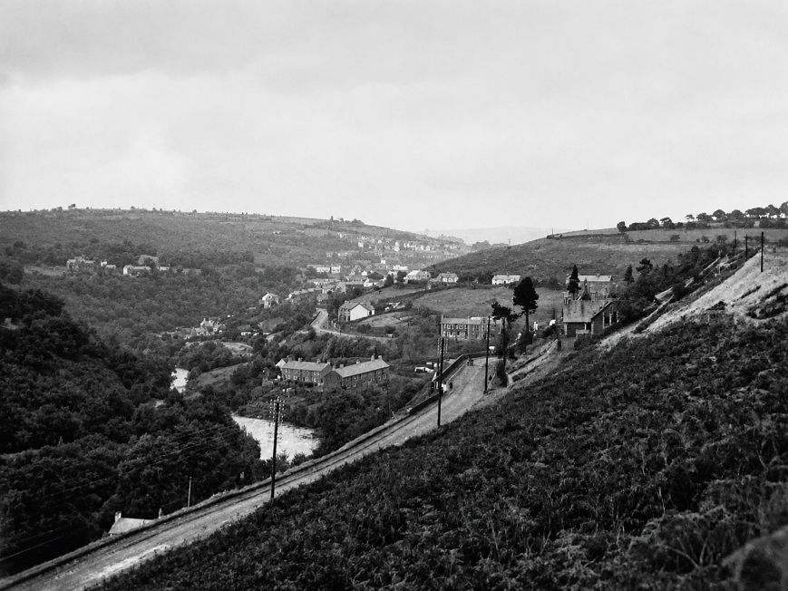
This image is looking across the valley to where the new A 470 was going to be built, there is a large car salesroom there now Trade centre Wales.
Below we see the Fiddler’s from the Nelson road, left turn to Abercyon , right to Quakers Yard.
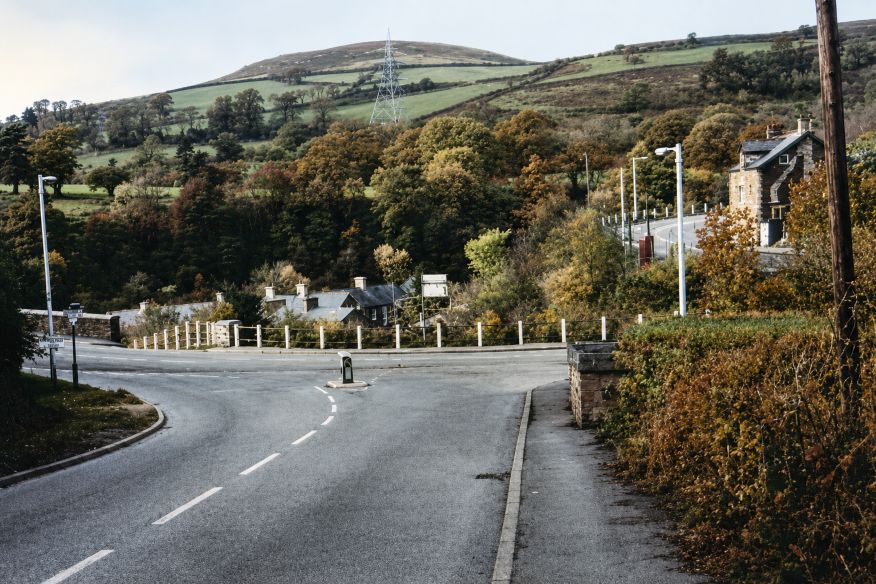
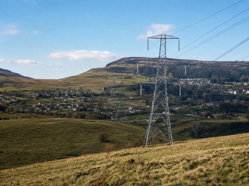
Same direction but lower and we see the contstruction site offices ready for the work and the new A 470 extension
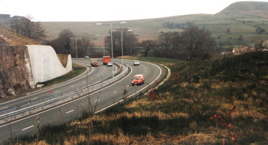
A 470 trunk road flyover complete
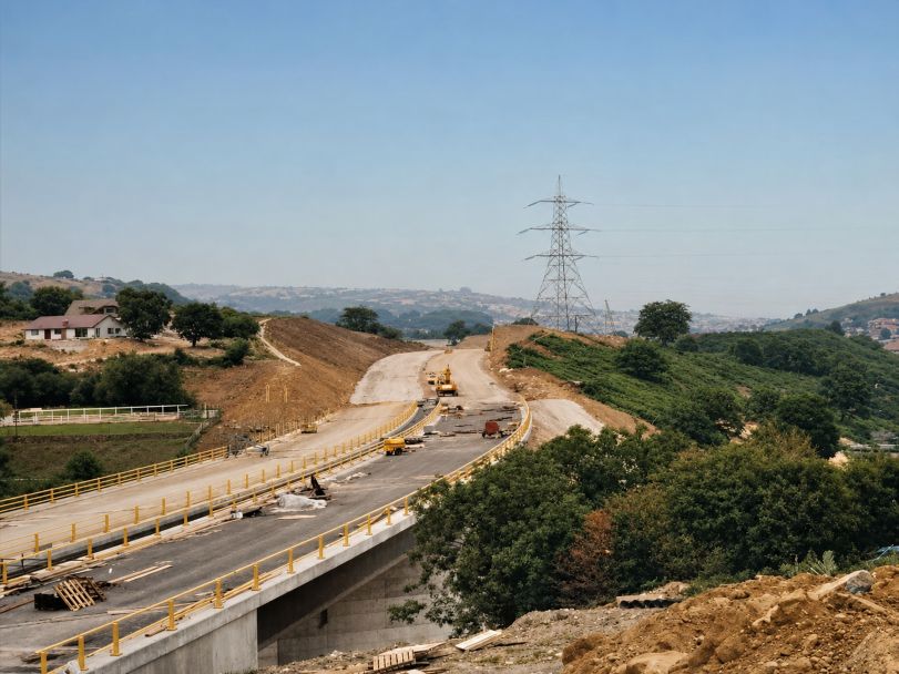
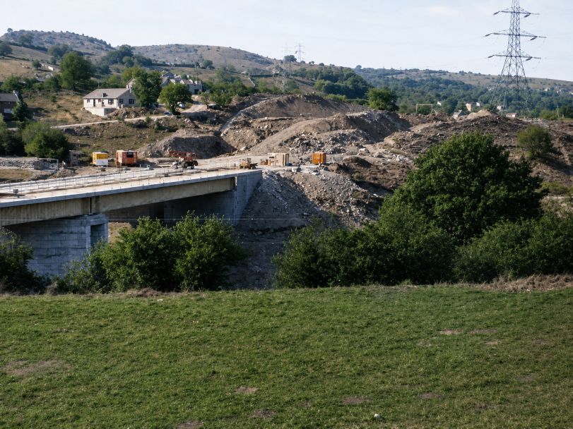
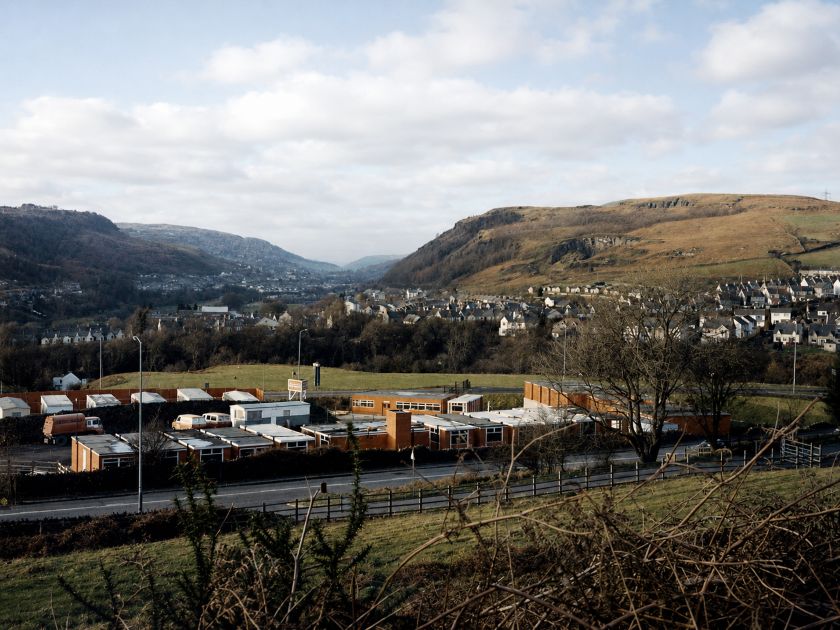
Early 1980’s and work begins on transforming the area with the new flyover connexting Fiddler’s elbow to the newly extended A 470 duel carriageway.
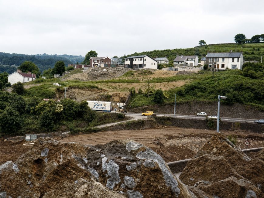
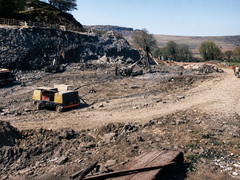
Alternative route for workers and contrustion vehicles
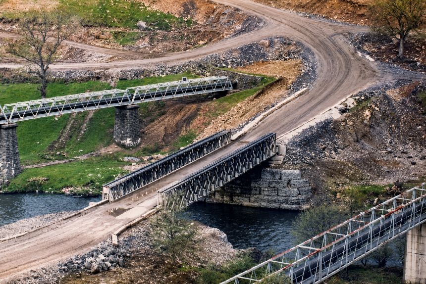
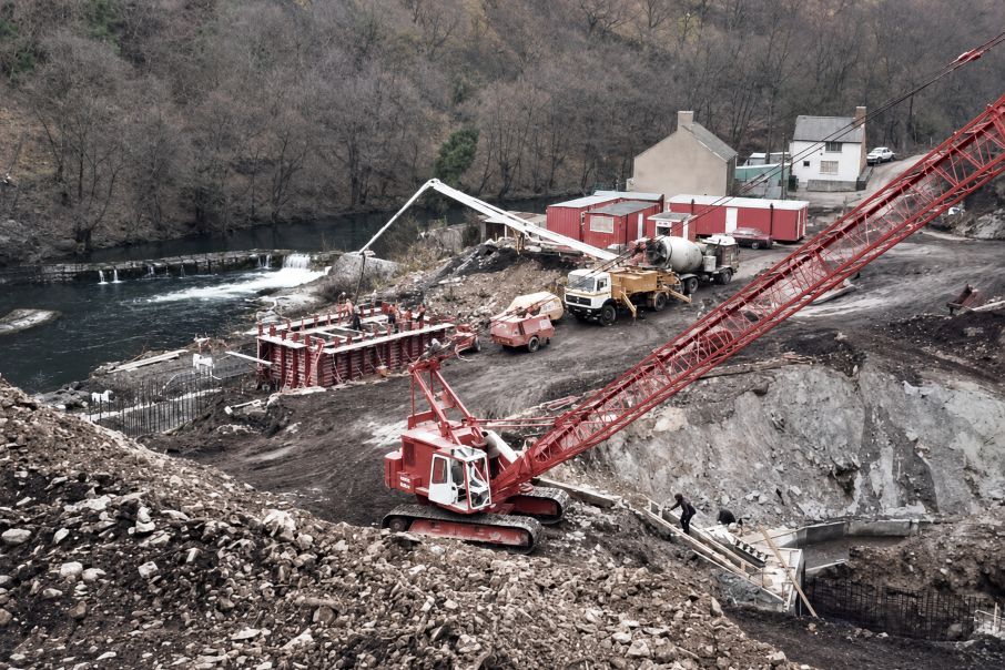
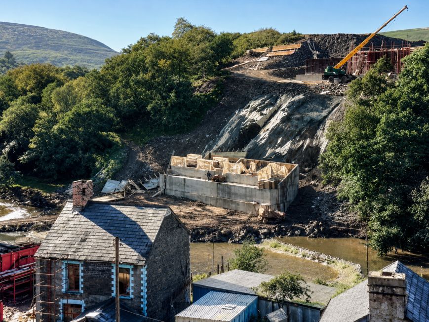
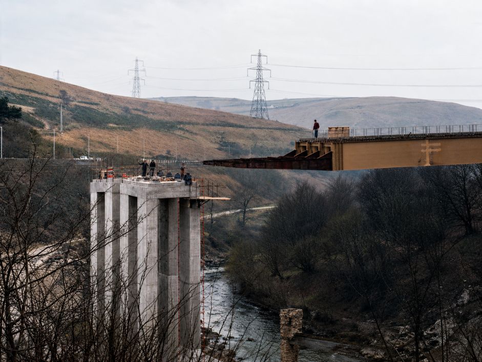
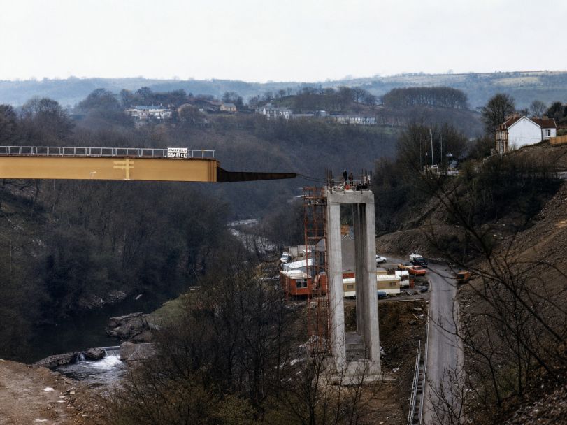
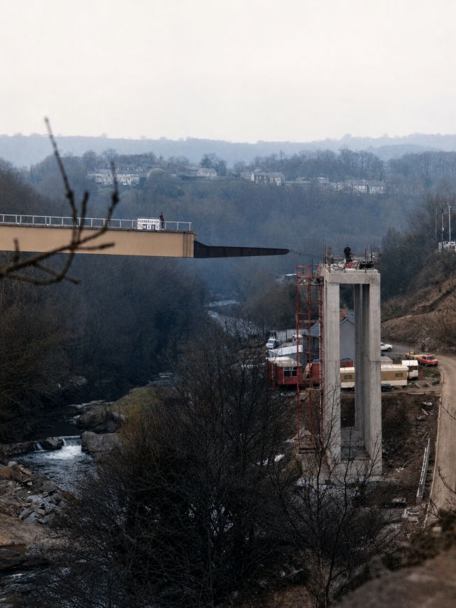
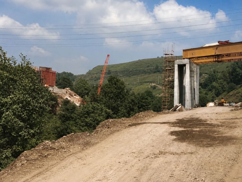
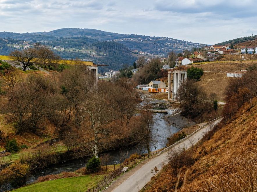
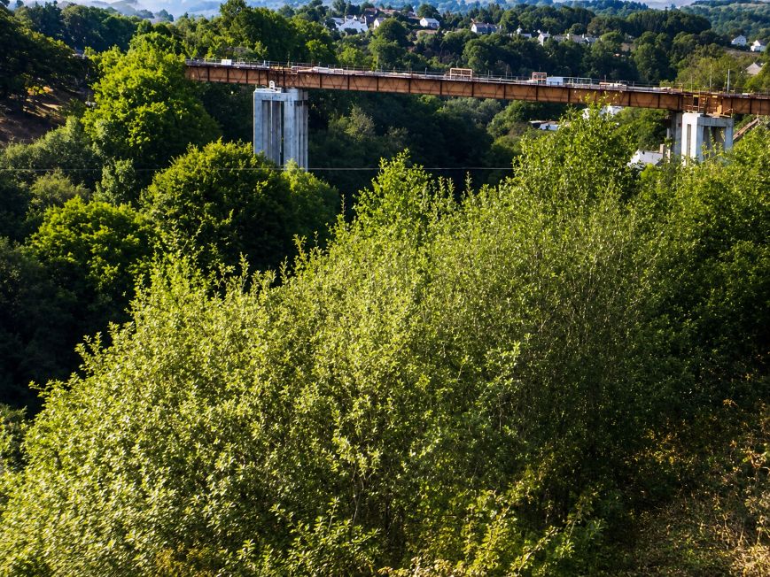
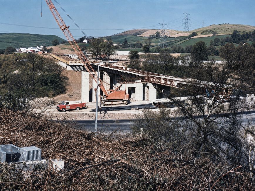
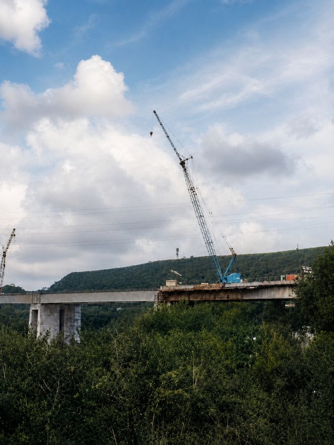
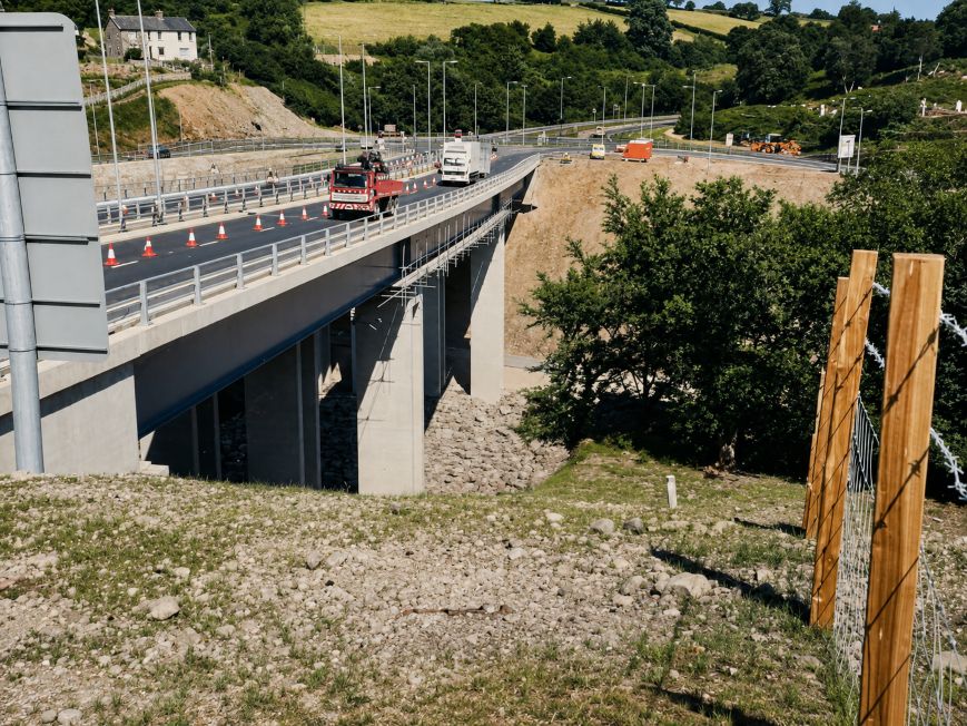
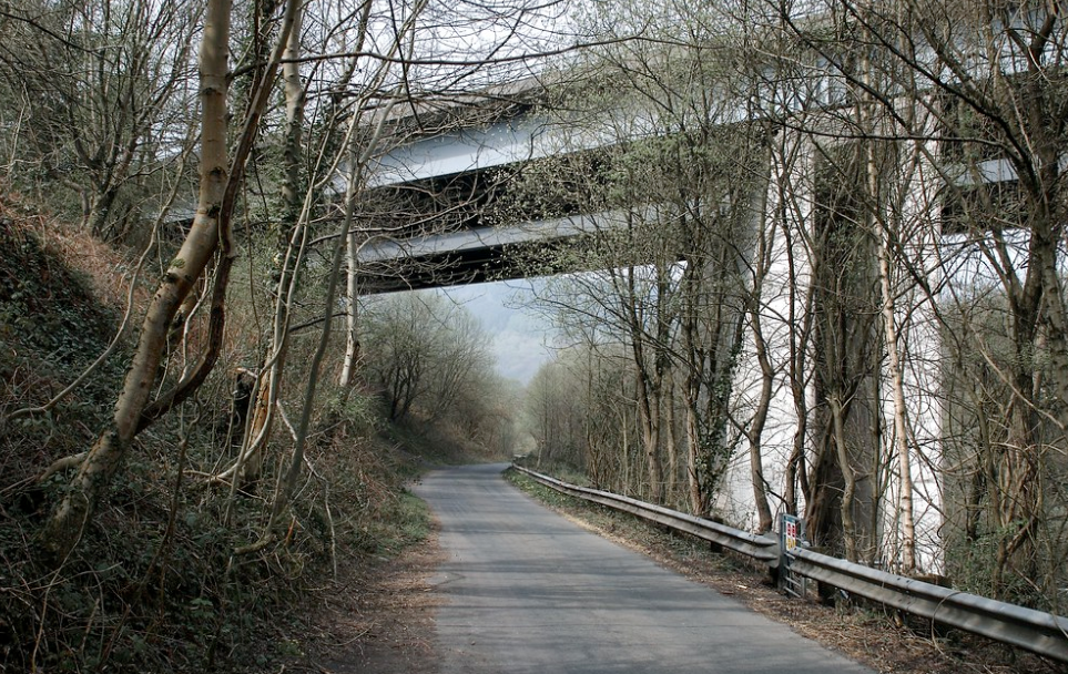
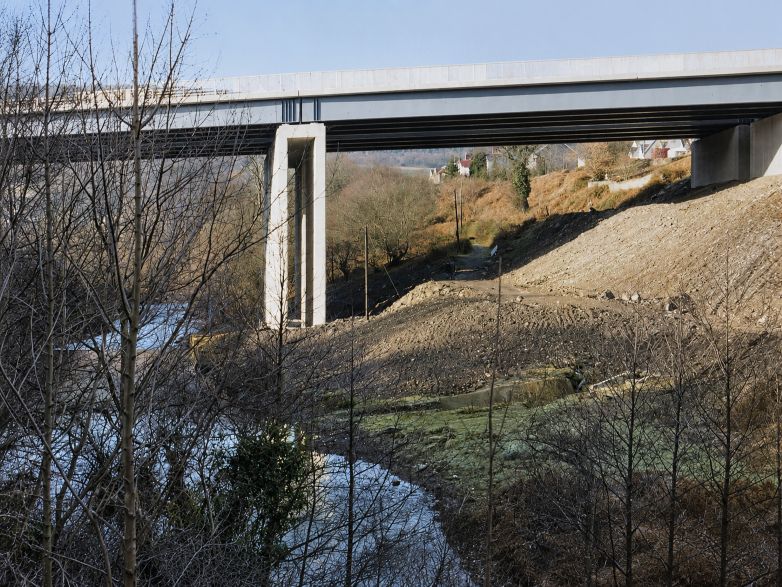
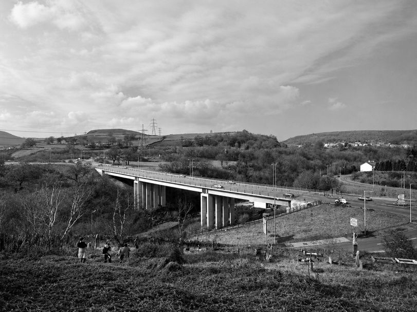
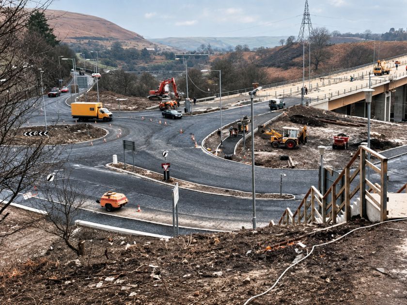
Alternative construction works route still there
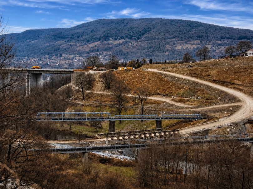
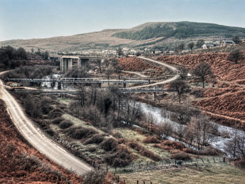
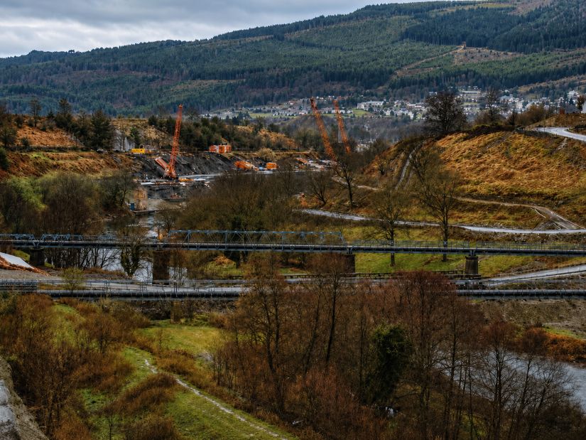
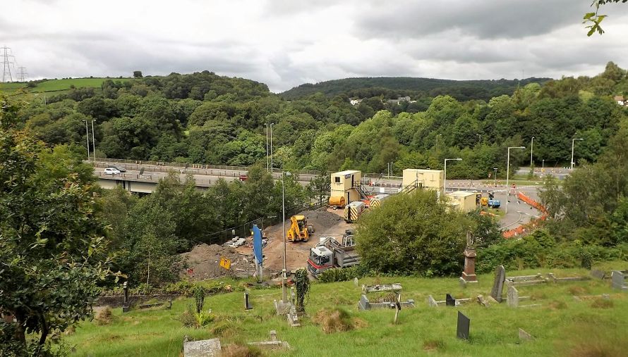
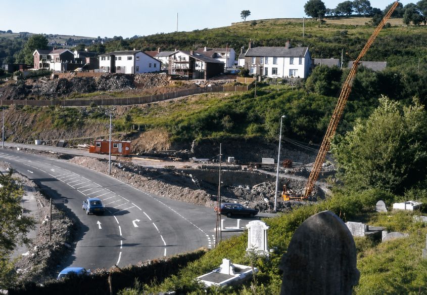
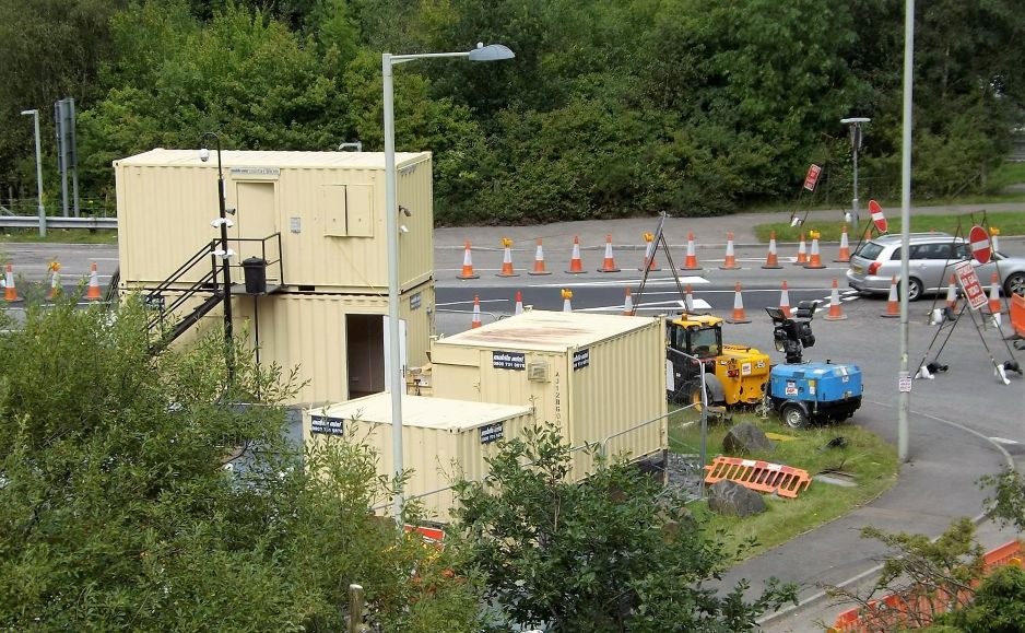
The next set are the roads that were constructed to join up to the new bridges.at Fiddler’s elbow
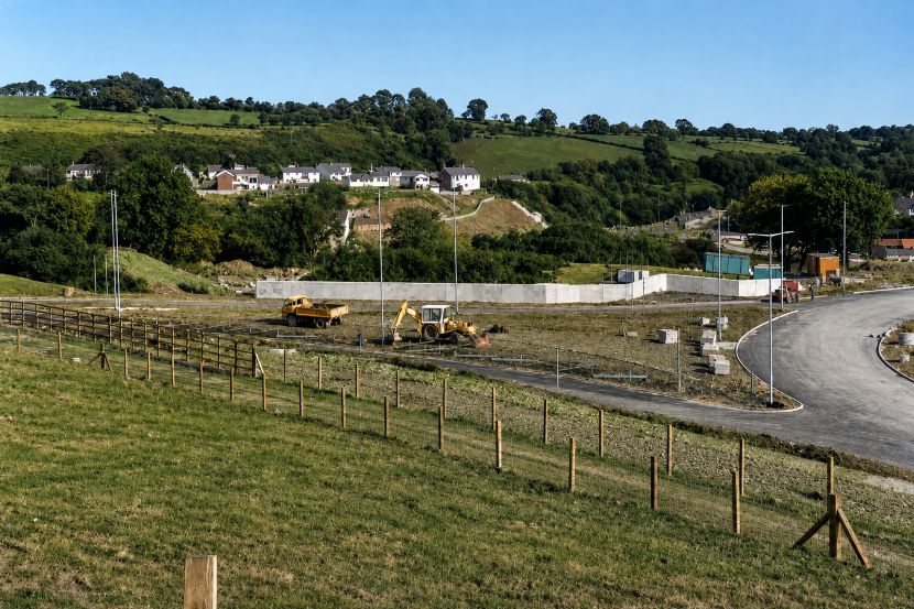
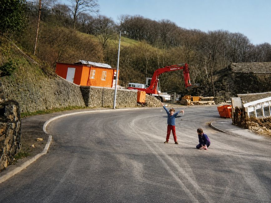
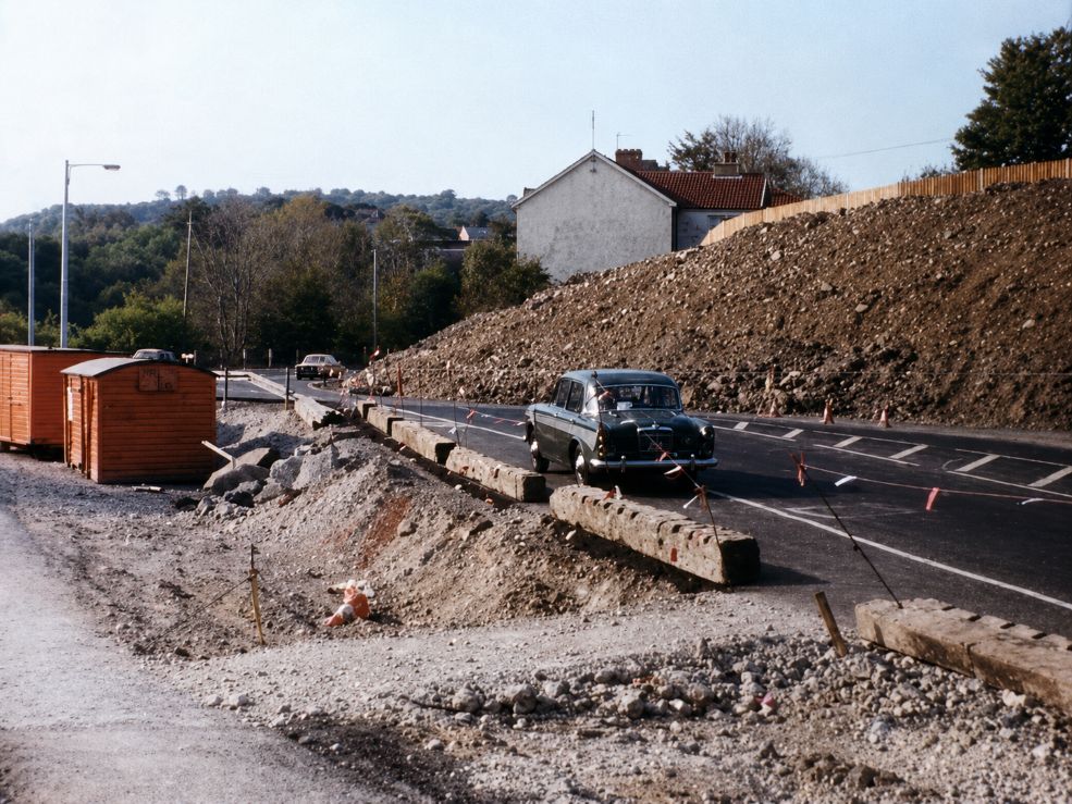
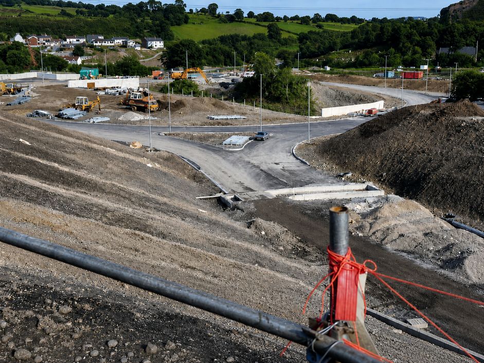
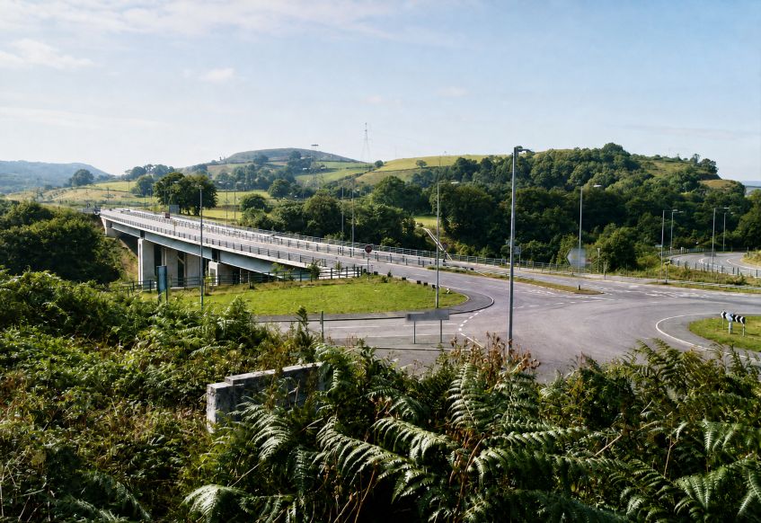
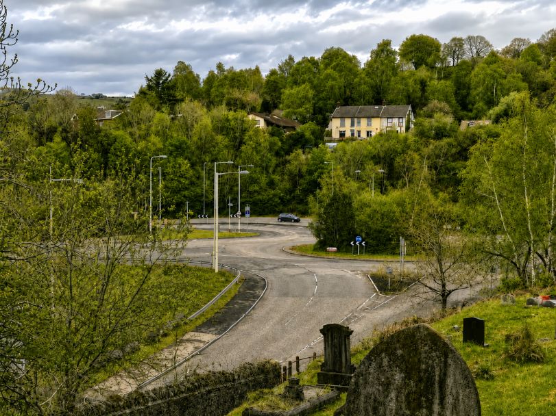
Two images above and below over 50 years apart though
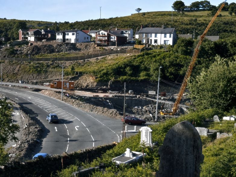
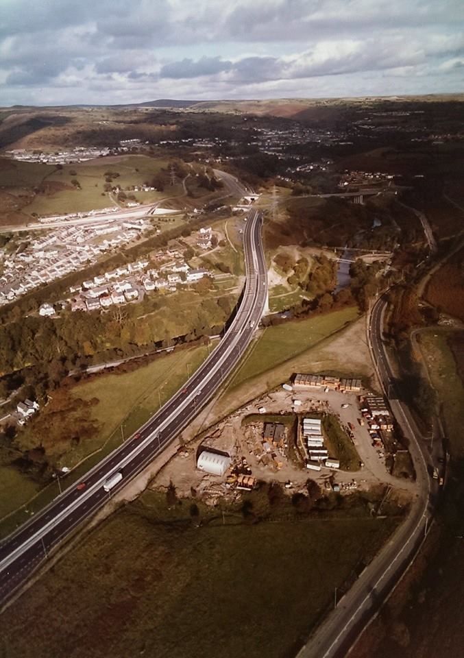
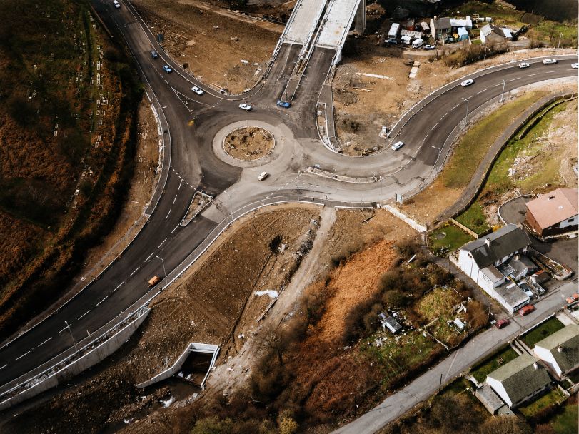
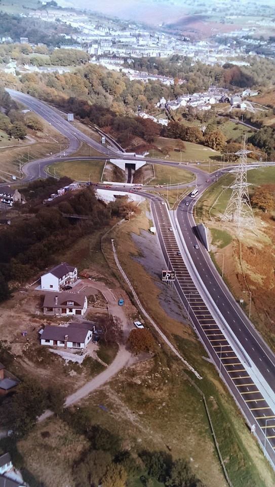
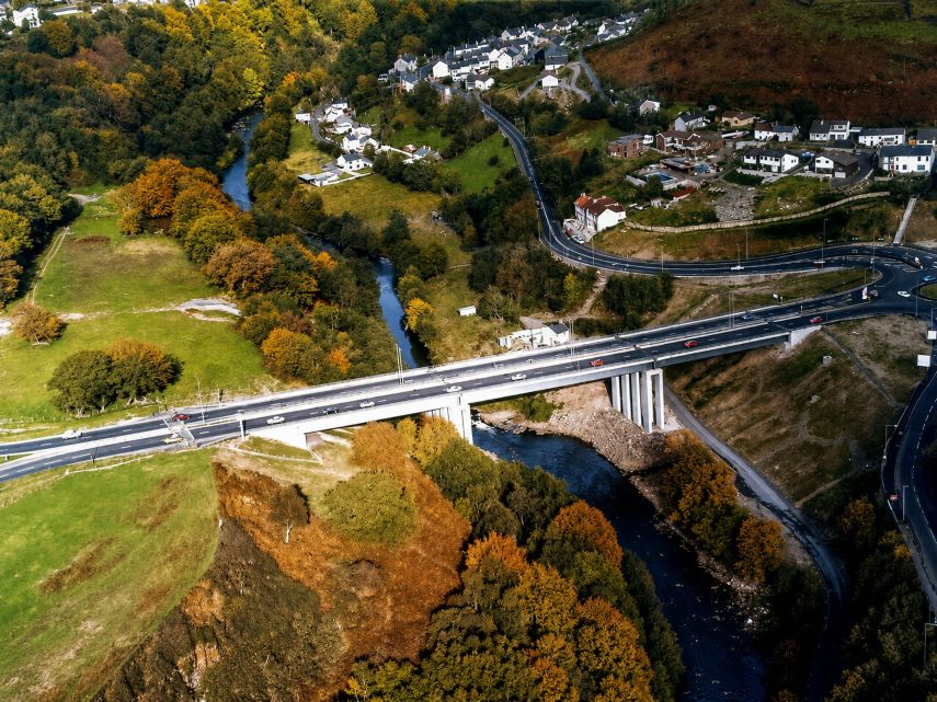
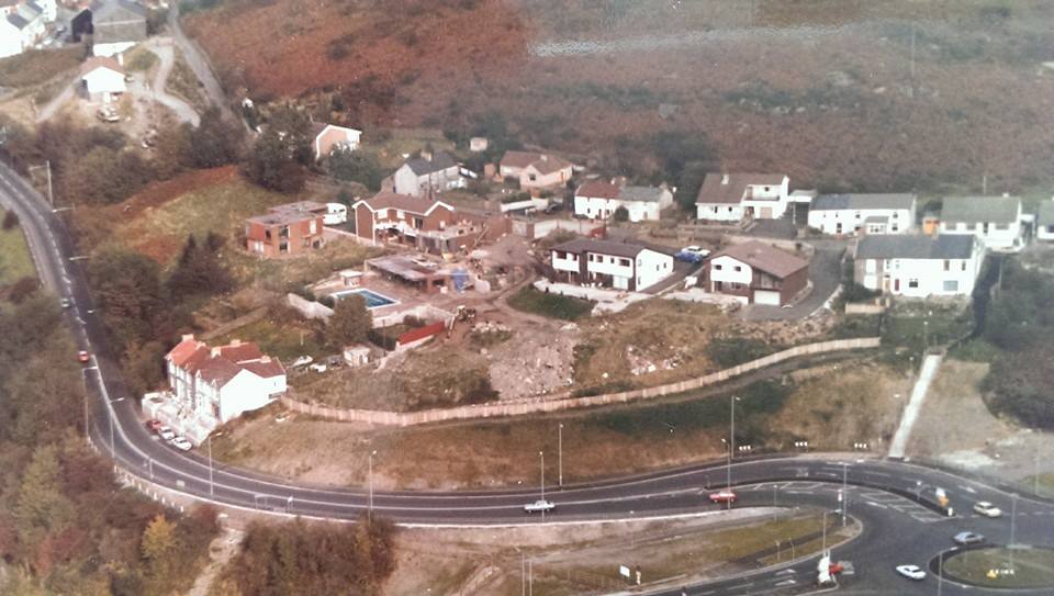
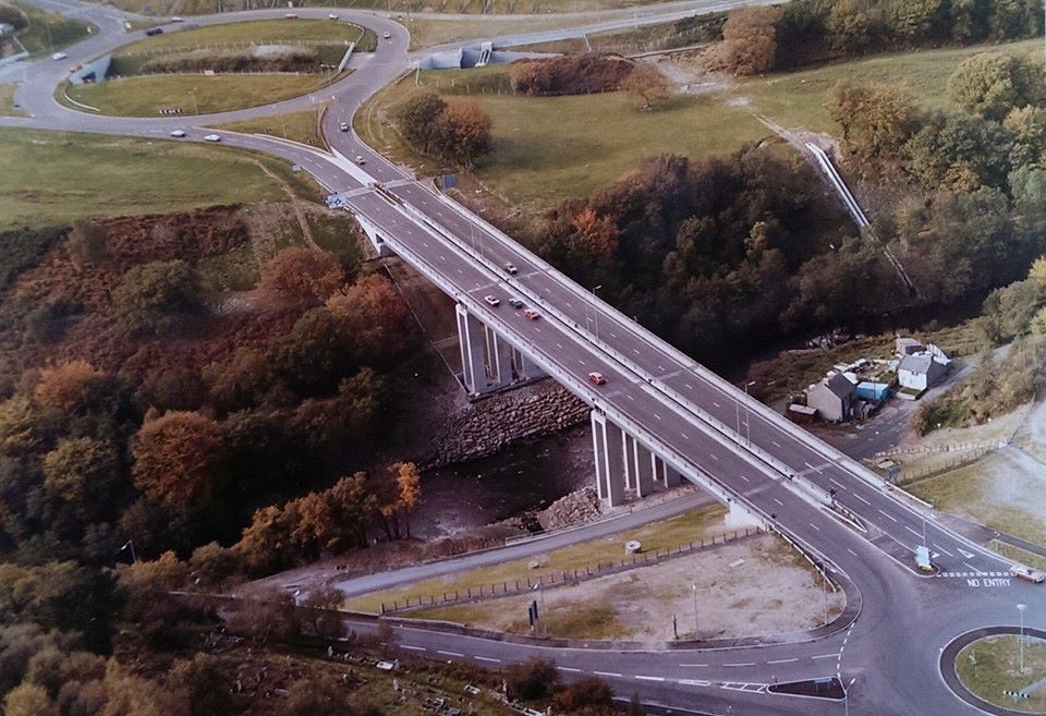
The new road that leads to Merthyr from the Abercynon roundabout A 470
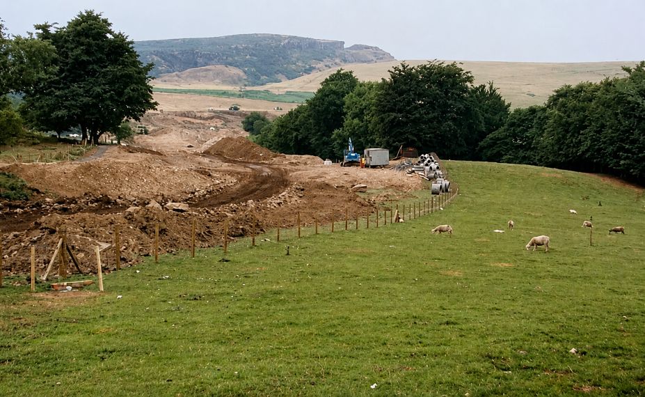
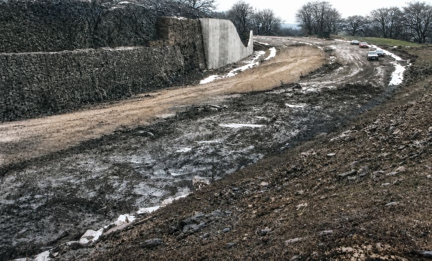
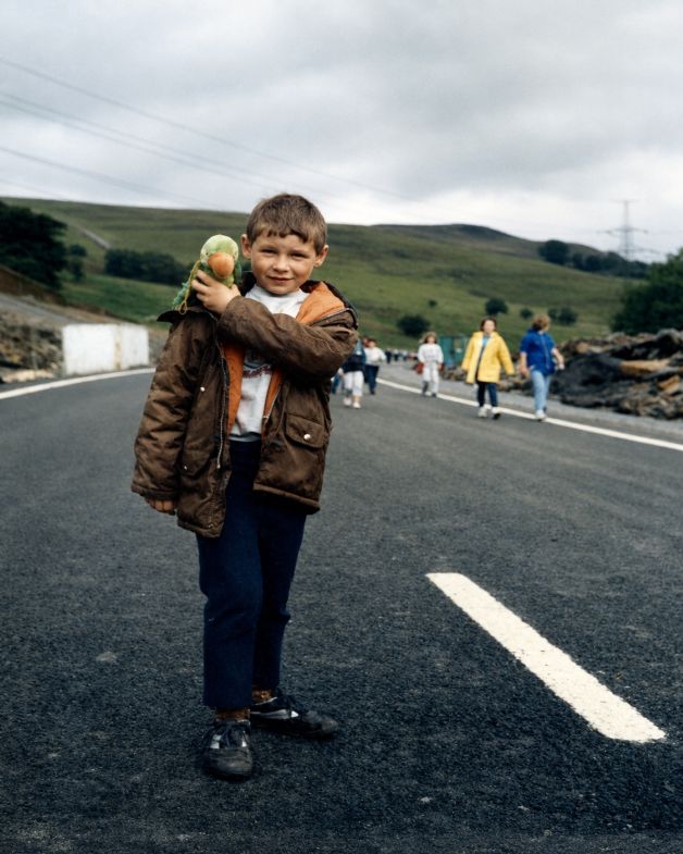
A young Paul Howard and others on an open day walk the day before the official road opening
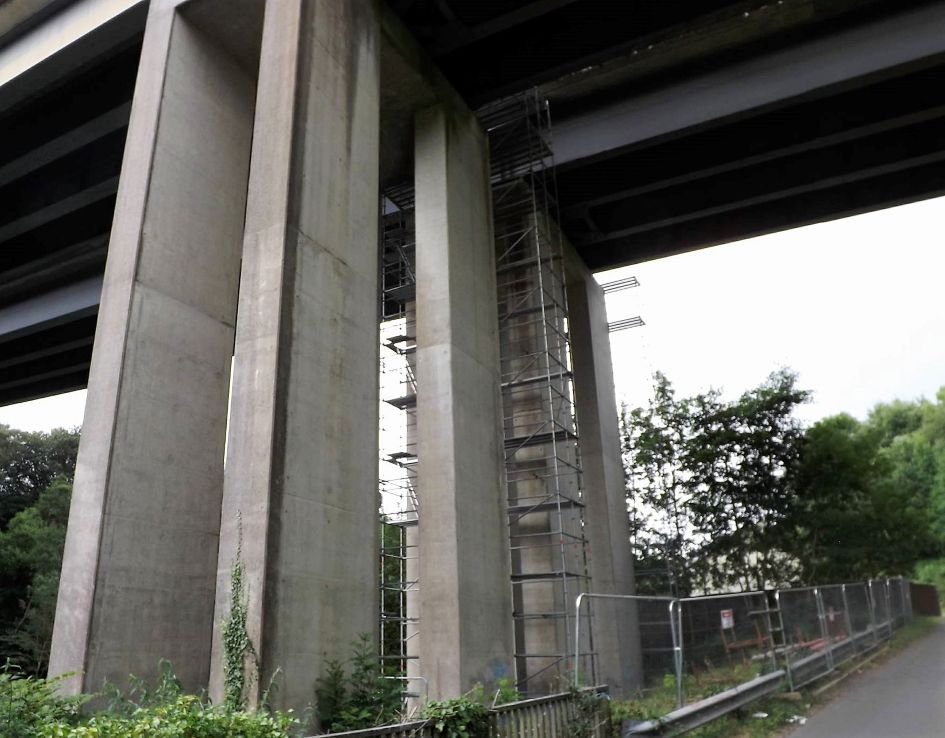
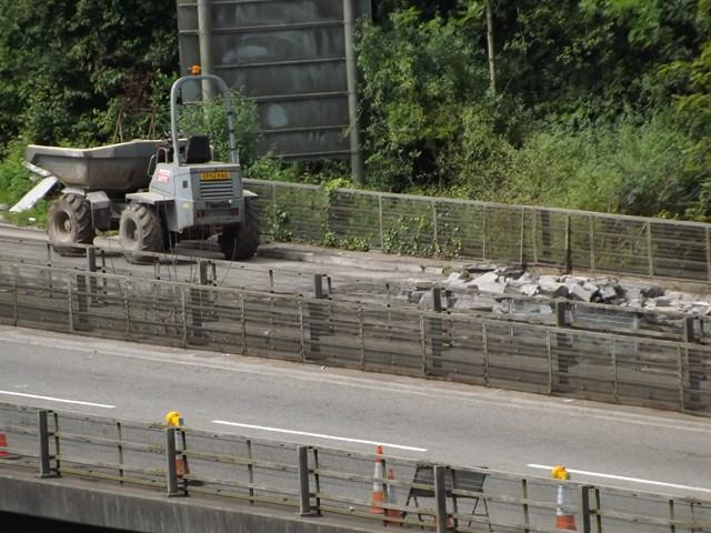
2016 and the road and viaduct need repairs.
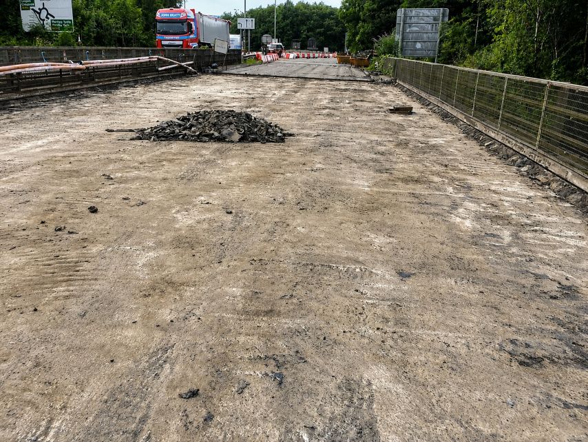
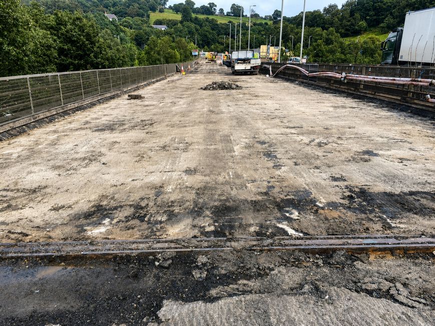
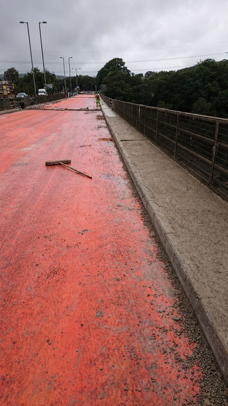
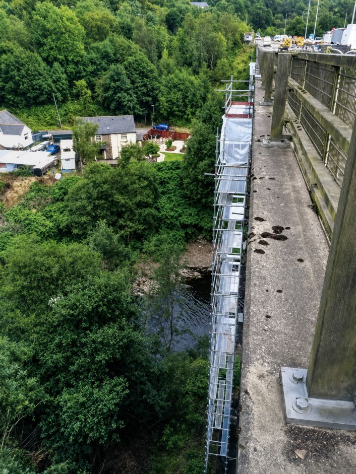
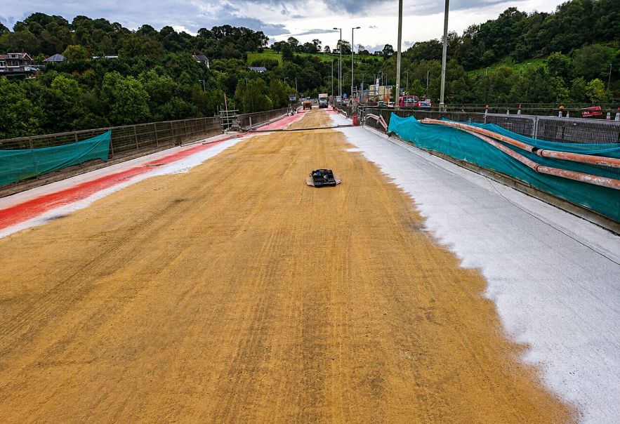
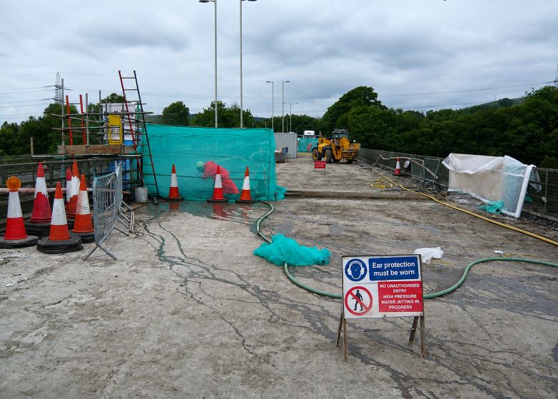
I have added these more recent photographs