Edwardsville
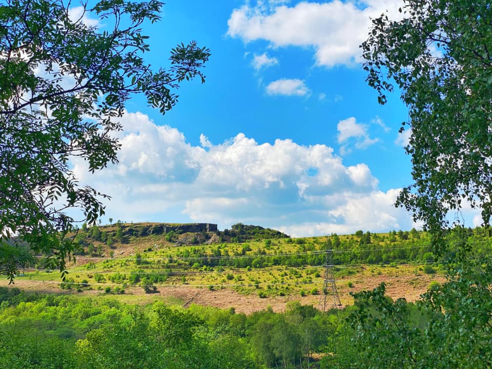
Picture above from Lee Dare who has contributed quite a few excellent photographs to the website
http://www.leedarephotography.co.uk/
I first started the website in spring 2009 but it constantly needs help, content and updating so during the Covid-19 pandemic in the spring of 2020, I had time to update many of the pages of the website. Edwardsville was one of the first pages and luckily Neil Nelly Williams started the “Edwardsville matters” page on Facebook in early May and it encouraged people to add photographs and stories, some of which I have added to this page ( I will remove them if requested to) There is so much more to the village than the old swimming pool photos or photos of the “gap” and hopefully this page will bring back memories to the local community.

A little bit of History about the village.
According to the traditional local story, residents met at the Great Western Hotel, close to the station, to choose a name for the growing settlement. The hotel’s proprietor and chairman of the meeting was Edmund Edwards. When the committee was divided between several suggestions, Edwards reportedly used his casting vote in favour of “Edwardsville”, effectively naming the village after himself.
The ending “-ville” was fashionable for newly built settlements during the late nineteenth and early twentieth centuries. The railway station, however, retained the older name Quakers Yard. This explains apparent contradictions such as Quakers Yard Grammar School being located in Edwardsville and Quakers Yard station principally serving Edwardsville
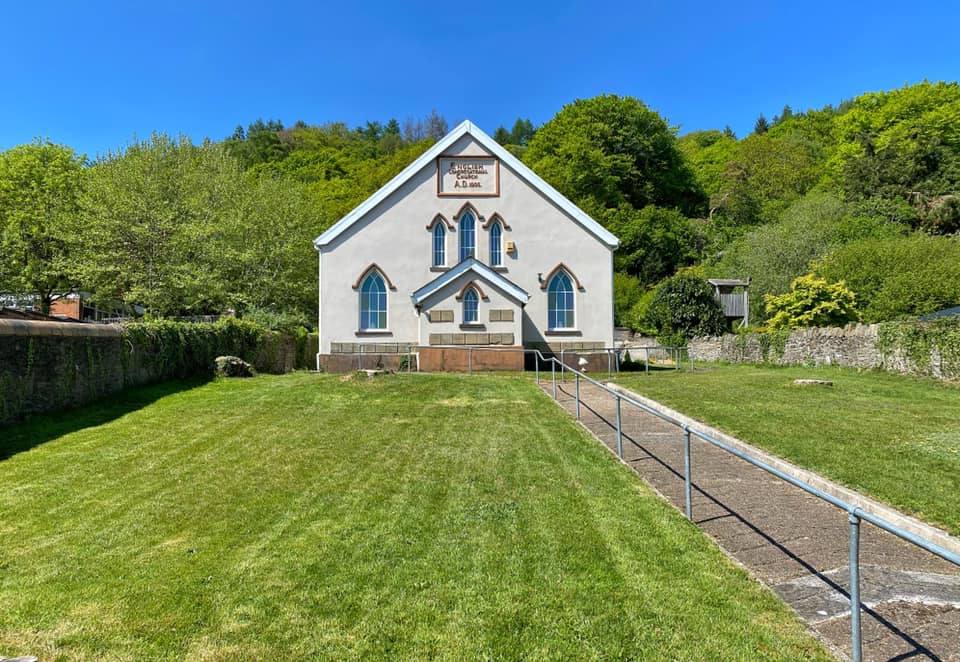
By the early twentieth century, Edwardsville had acquired the institutions expected of a substantial South Wales industrial community. Seion Welsh Independent Chapel on Cardiff Road was built in 1902, while an English Congregational church followed in 1905. There was also Edwardsville Council School.
The locality became particularly important for education. The South Wales and Monmouthshire Truant School had been built in the area in 1894. Quakers Yard Grammar School was officially opened on 2 May 1922, despite being physically situated in Edwardsville rather than Quakers Yard. A Mining Institute followed in 1929 and Quakers Yard Technical School in 1937. These names demonstrate how strongly the older Quakers Yard identity continued alongside the newer Edwardsville name.
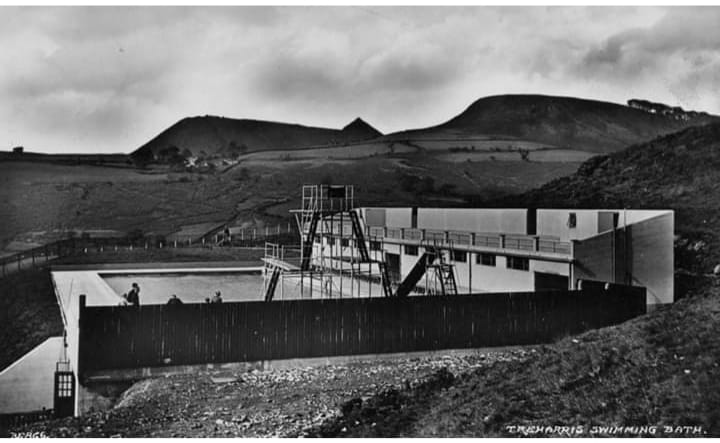
Edwardsville continued to develop as a social and educational centre. One of its best-remembered amenities was the open-air swimming baths, opened in 1937 as part of an effort to provide recreation, exercise and fresh air in an industrial district. Generations of children from Edwardsville, Treharris and surrounding villages learned to swim there. The baths were converted into a covered swimming complex in 1986, later closed, and were demolished in 2010.
The rationalisation of the railways from the 1960s removed much of the enormous junction that had originally created the settlement. Quakers Yard High Level station closed in 1964, and the grammar and technical schools closed later in the decade as secondary education was reorganised. Some former railway land was subsequently used for housing.
The closure of the nearby Deep Navigation Colliery in 1991 had a major effect on the wider Treharris community. Merthyr Tydfil Council’s historical appraisal estimated that around 2,000 local jobs were lost. Edwardsville was not simply a colliery village—it had originated primarily around the railway—but its shops, families and institutions were closely connected with the surrounding coal economy
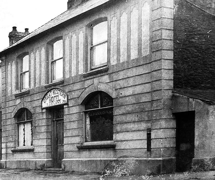
The Truant school (more details on Edwardsville Places of interest page) and Great Western hotel were already built at the time as well as the impressive Railway station which was named Quakers yard. The English congregational church was built in 1905, but I cannot find a date for the original Edwardsville council school but know it was closed in July 1974. A new school opened in Edwardsville in September 1975 and was built to replace the schools at Webster Street, Treharris Central, Woodlands and Edwardsville itself.
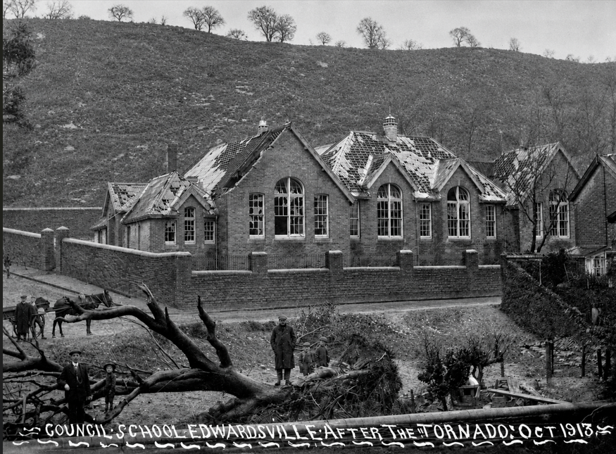
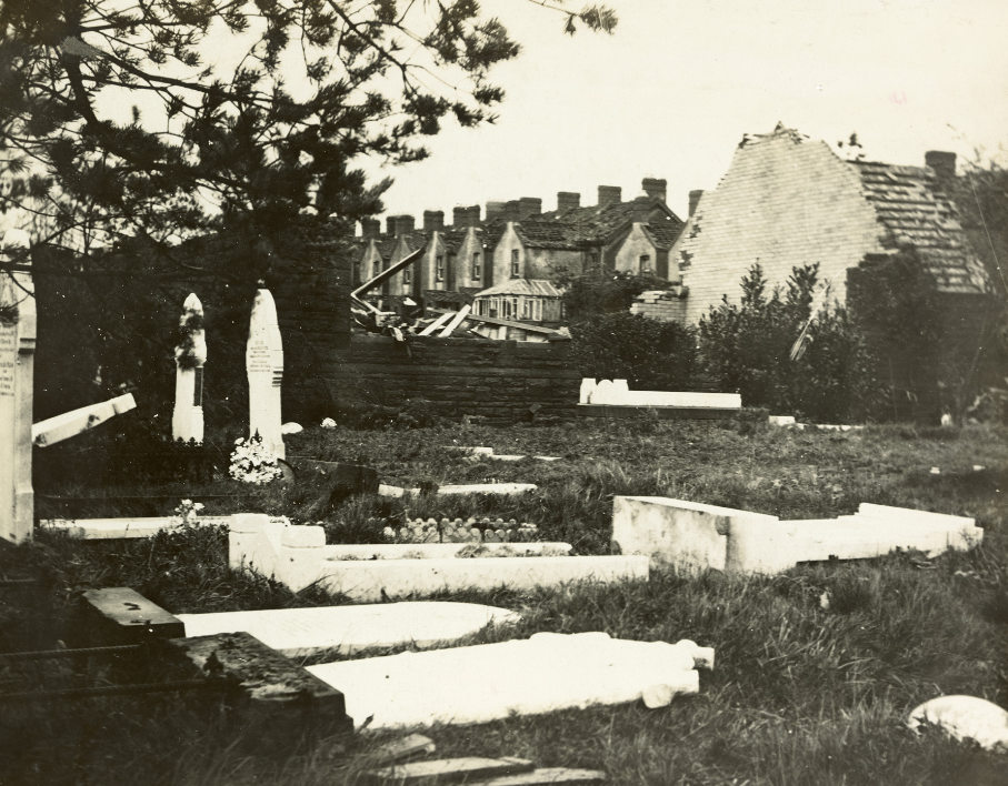
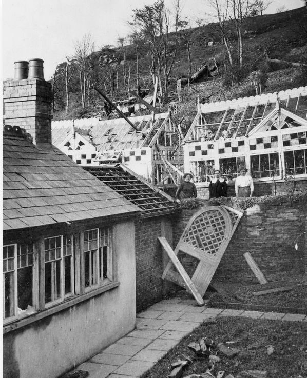
At terrible tornado ripped through the village causing huge damage and loss of life in 1913 (pictures available)

Chapel in Beechgrove cemetry following the Tornado
For many years people flocked to the area in the warm weather to the open air swimming pool built in 1937 to encourage fitness and fresh air, It was converted into a modern covered baths in 1986, but sadly suffered from subsidence in its later years and finally closed in late September 2010( there is a feature on this website on the Edwardsville Places of Interest page)
Edwardsville can boast about a number of important schools ,The prestigious Quakers yard grammar school was opened here in 1922, the Mining Institute, 1929 and the Quakers Yard Technical School, 1937. The Tech school and grammar school eventually merged but were finally closed in the mid-sixties when pupils from the area moved to Afan Taf High school in Troedyrhiw.
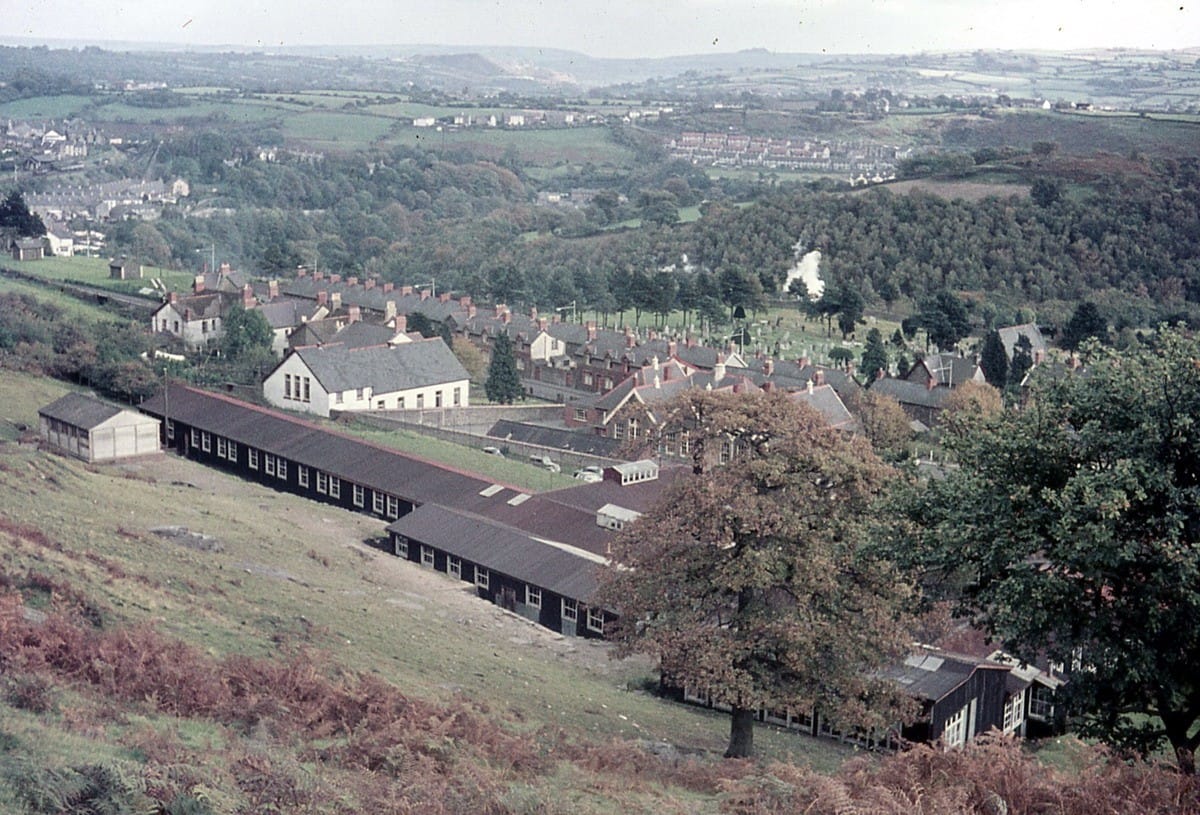
General photographs of the village
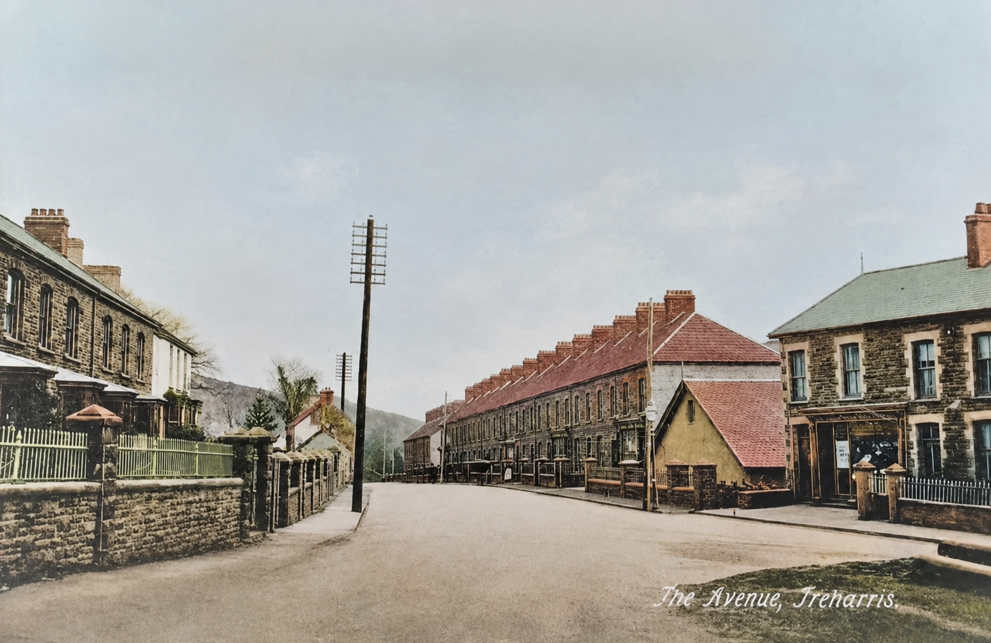
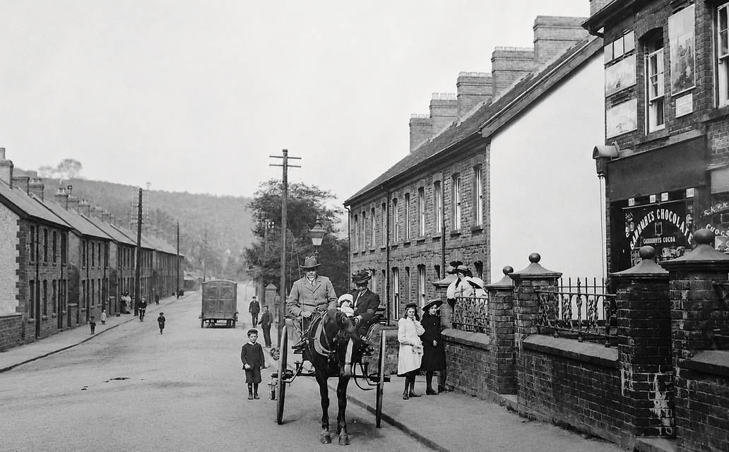
The Avenue last century

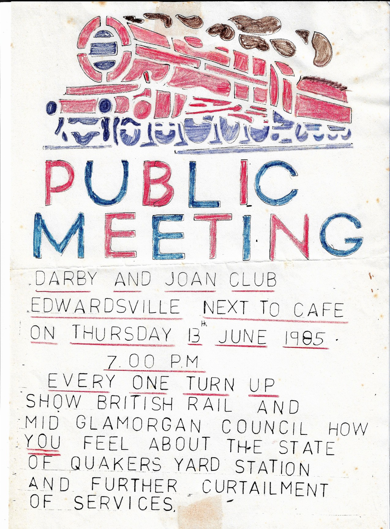
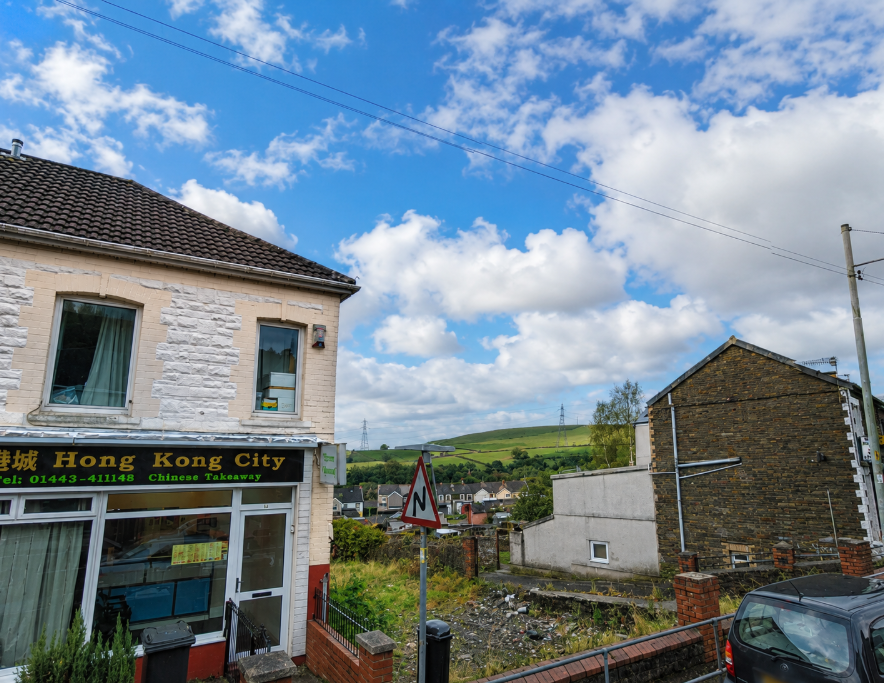
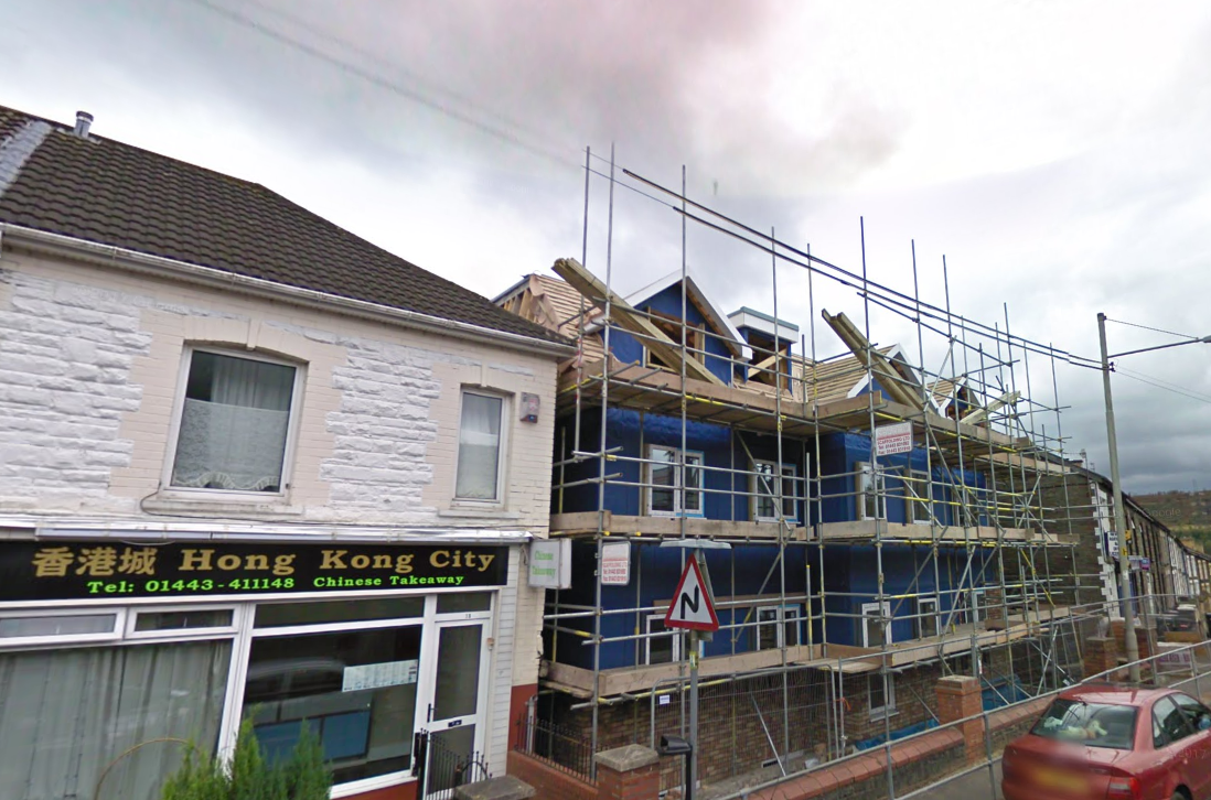
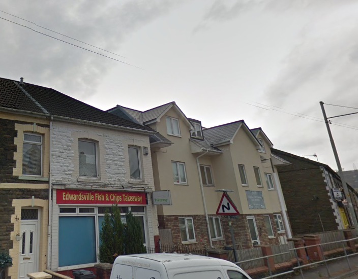
Below we have three shots of where there Darby and Joan club were next to Troz fish shop
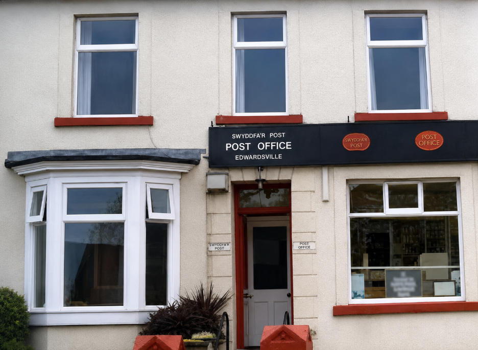
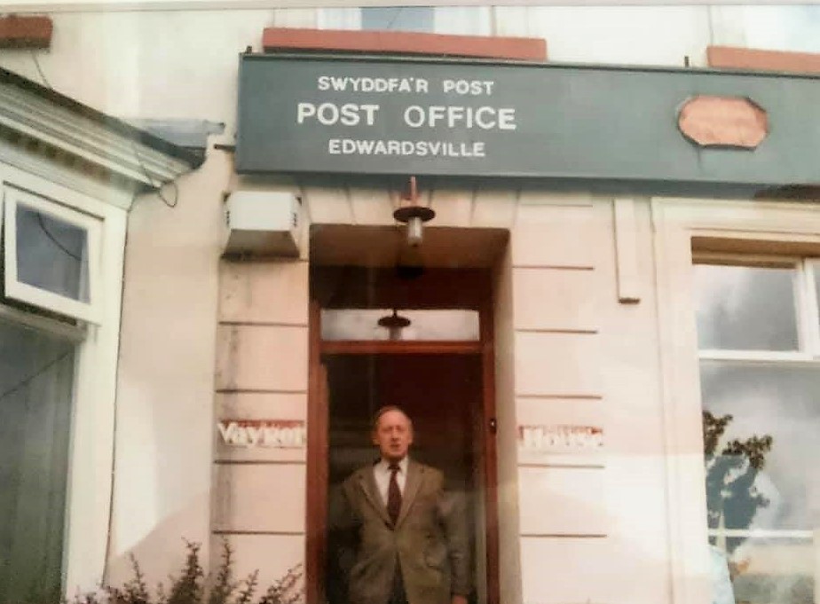
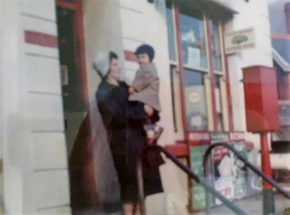
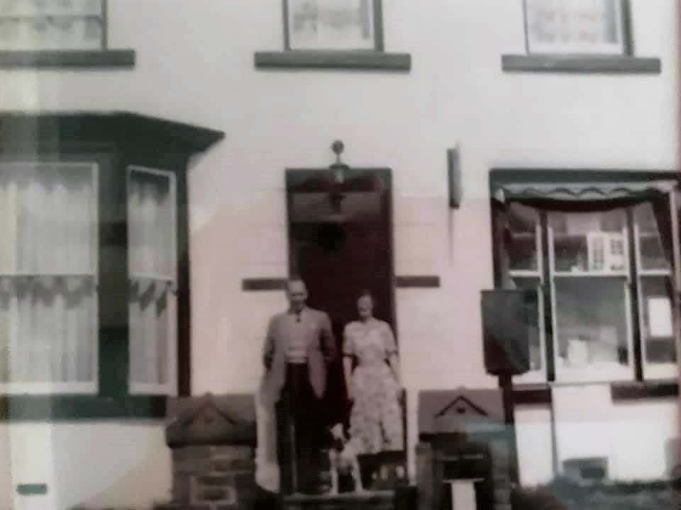
Below we see the post master and post office donated by Lowri Betty
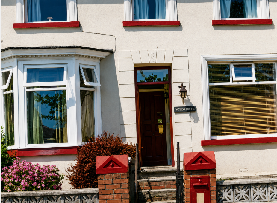
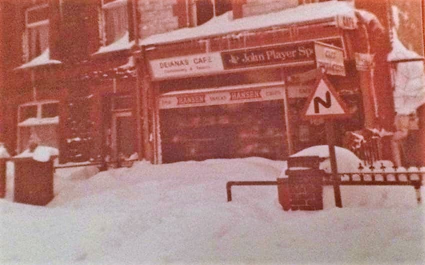
The Italian cafe in the snow
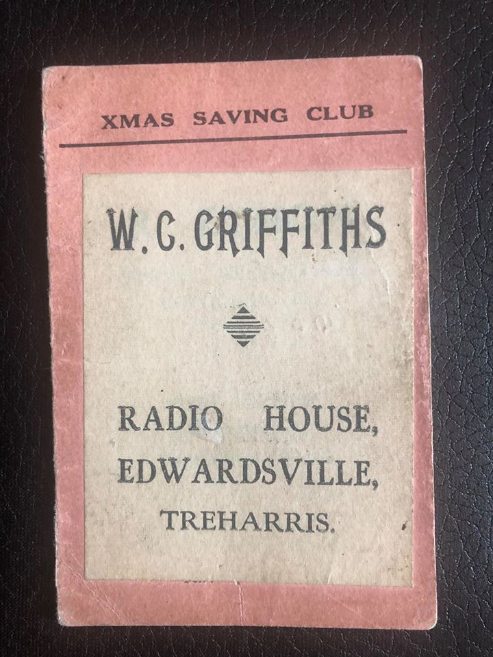
Radio house savings card
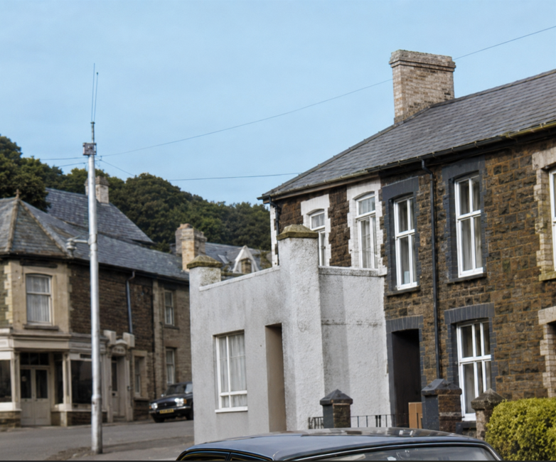
Hardwear store and then Hair dressers
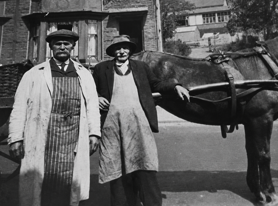
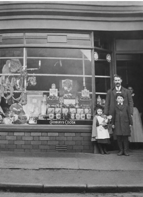
Old Butchers in 16 the Avenue, it’s from 1909.(Catherine Richards)
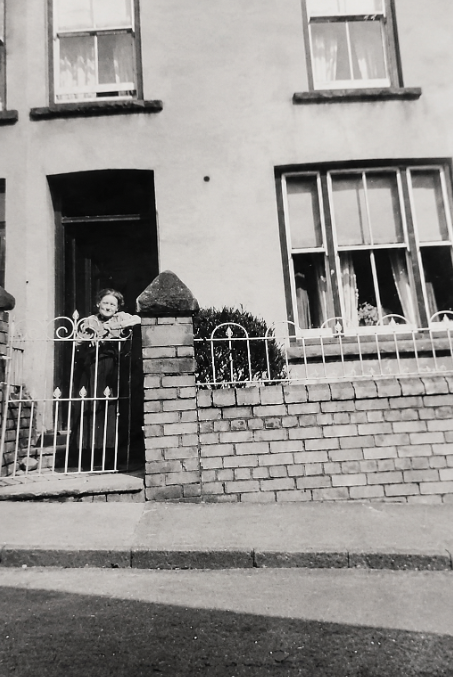
Outside Catherine Richards house her great grandmother
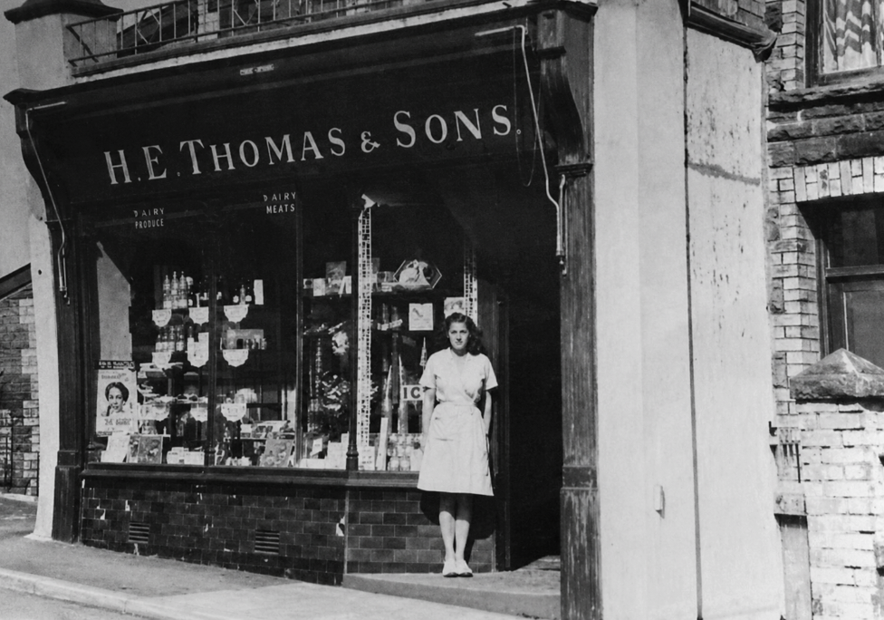
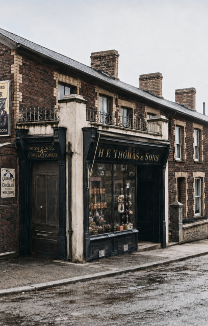
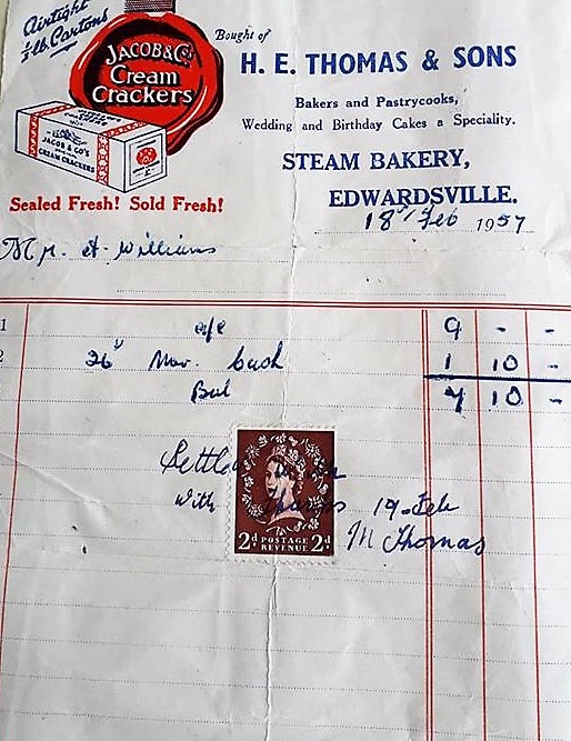
Bakers shop and bill
August 2011 opposite school
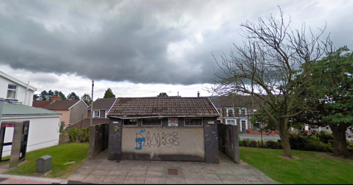
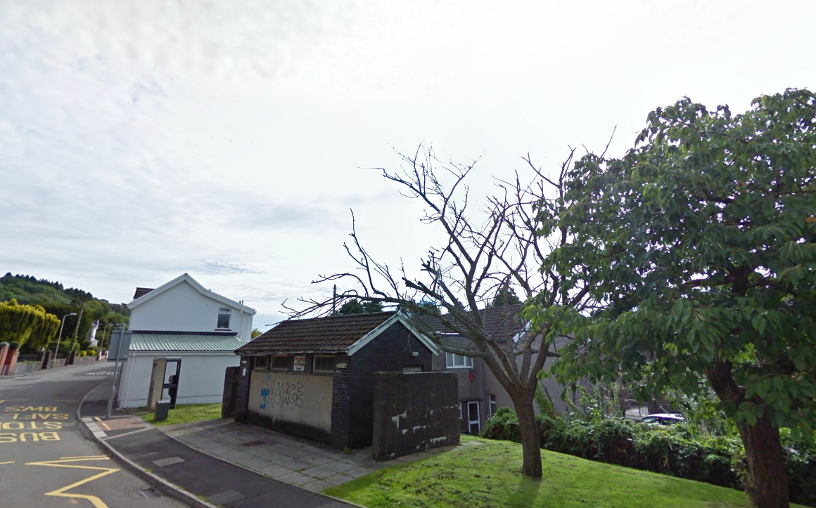
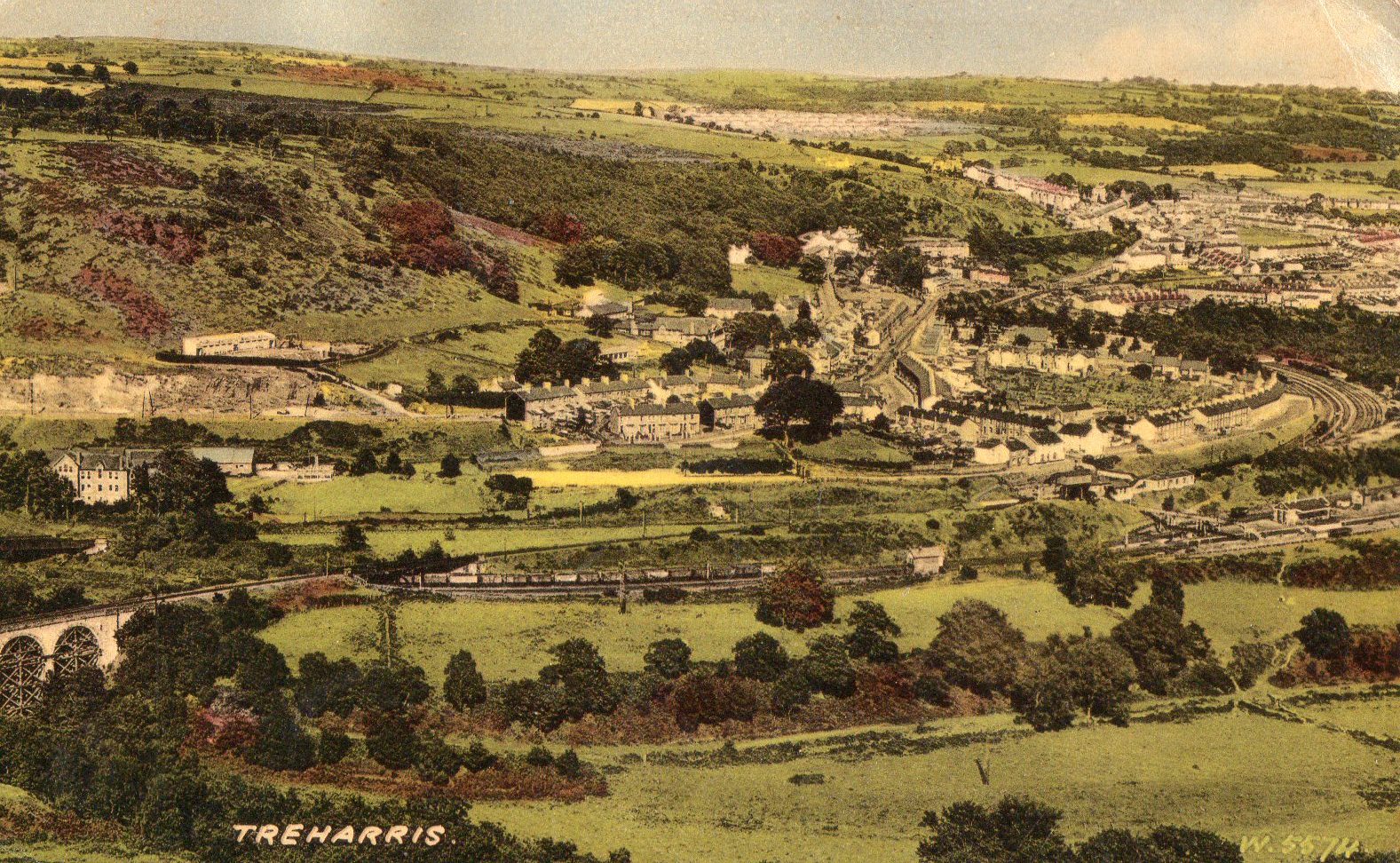
Views across to Edwardsville possibly 1990’s but from different times
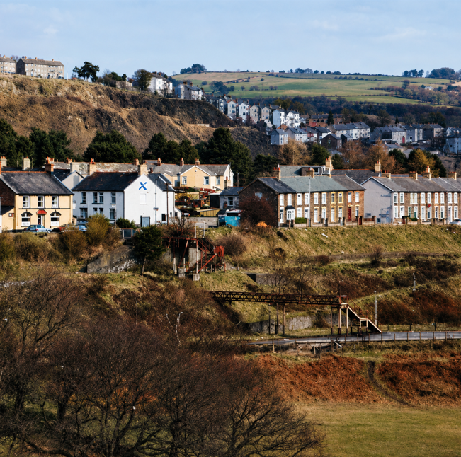
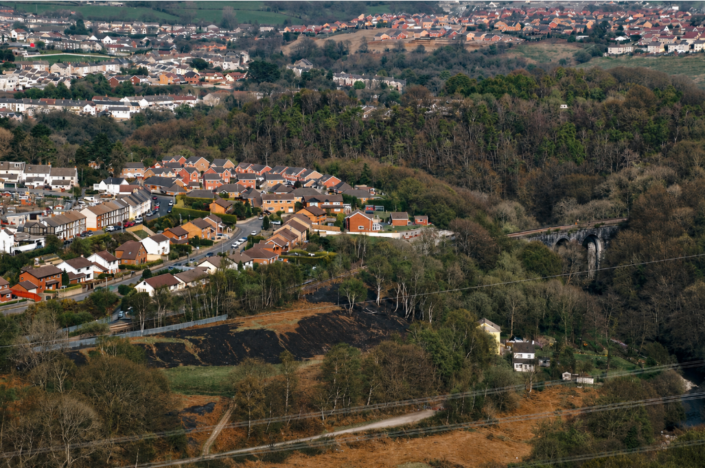
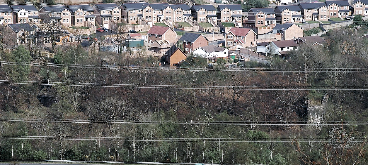

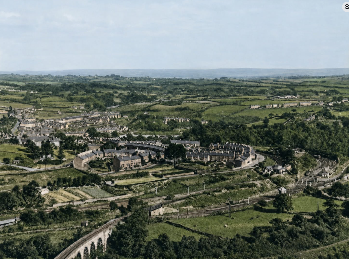
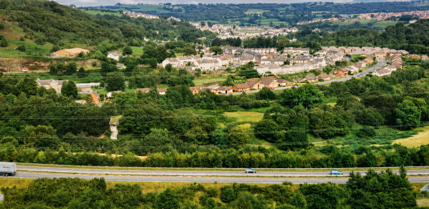
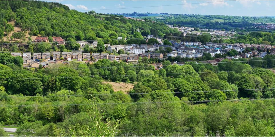
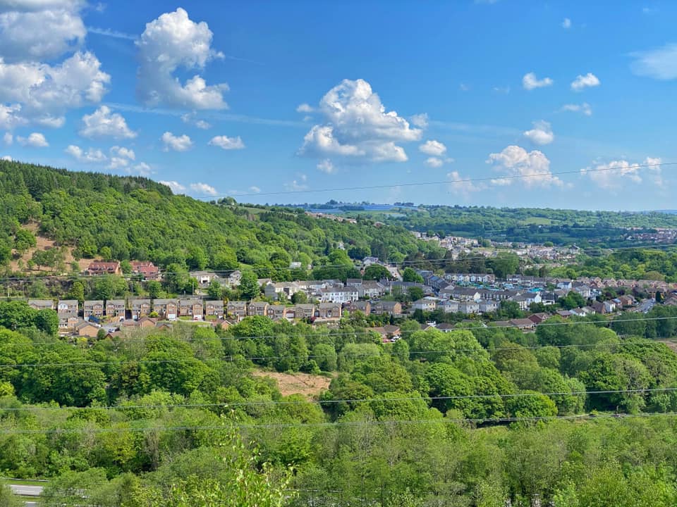
Above we see the village from acros the valley first picture 1980’s secnd one 2020 (Lee Dare)
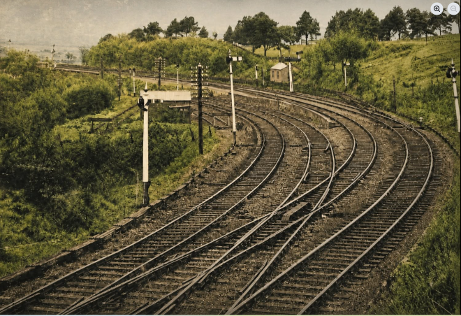
These were the busy tracks between Treharris and Edwardsville below are two photos years later when the railway had gone by Ian Brookes, it is now the location of Forest grove housing development
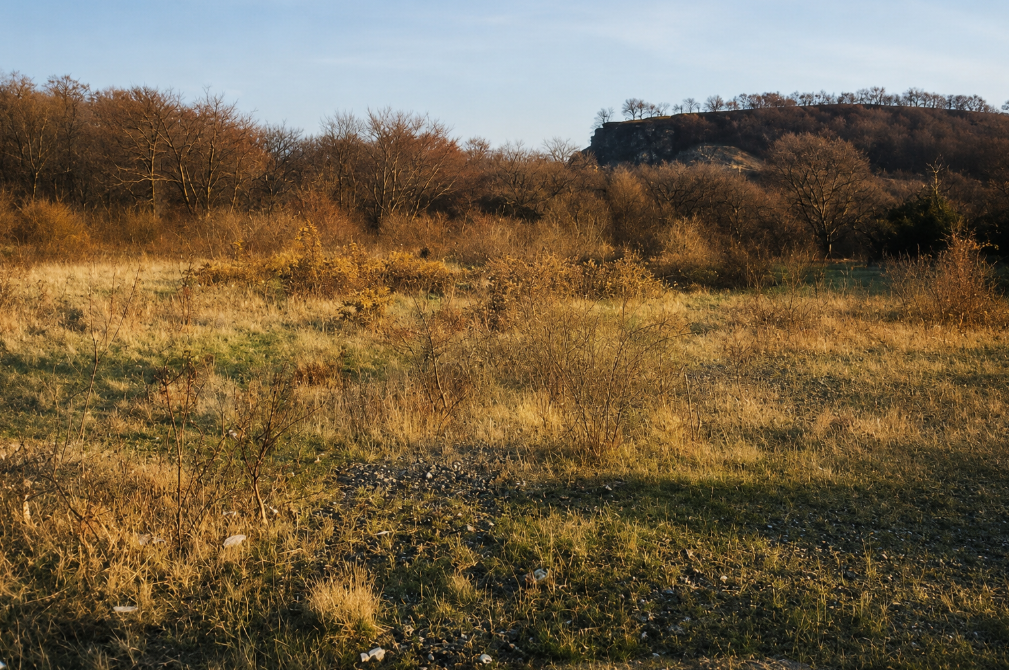
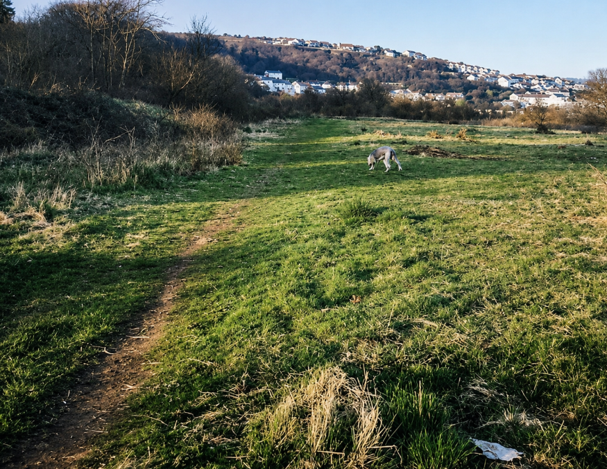
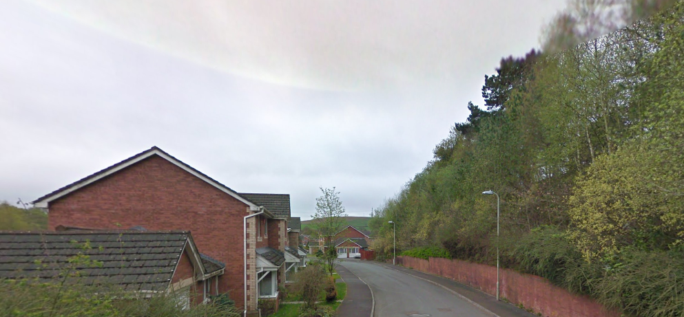
Edwardsville viaducts and Great Western Station (Quakers Yard) all photos now available in the Railways section of the website.
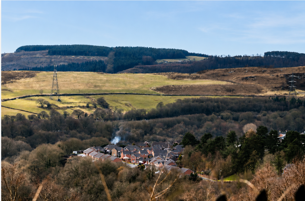
The following images relate to the village of Edwardsville and surrounding areas including Ponygwaith. The Older pictures appear first, followed by more modern ones.
The Terrible Tornado of October,1913
(pictures courtesy of Roger Vowles, Treharris)
Three people were killed, amongst the three fatalities was local celebrity C Woolford, the right-back and captain of the Ton Pentre football club.Houses and a chapel were wrecked and over a hundred people injured when a force 6 Tornado struck Edwardsville, on Monday the 27th of October 1913.
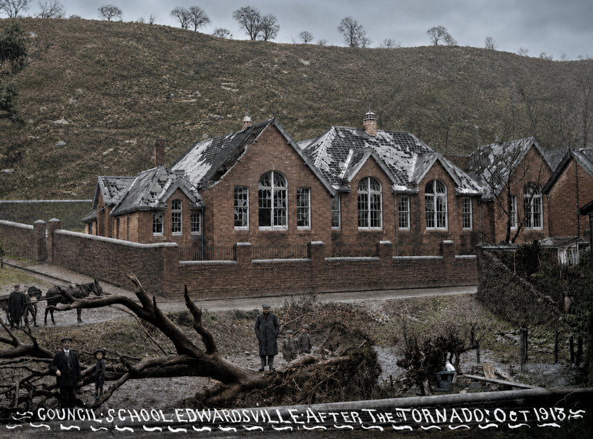
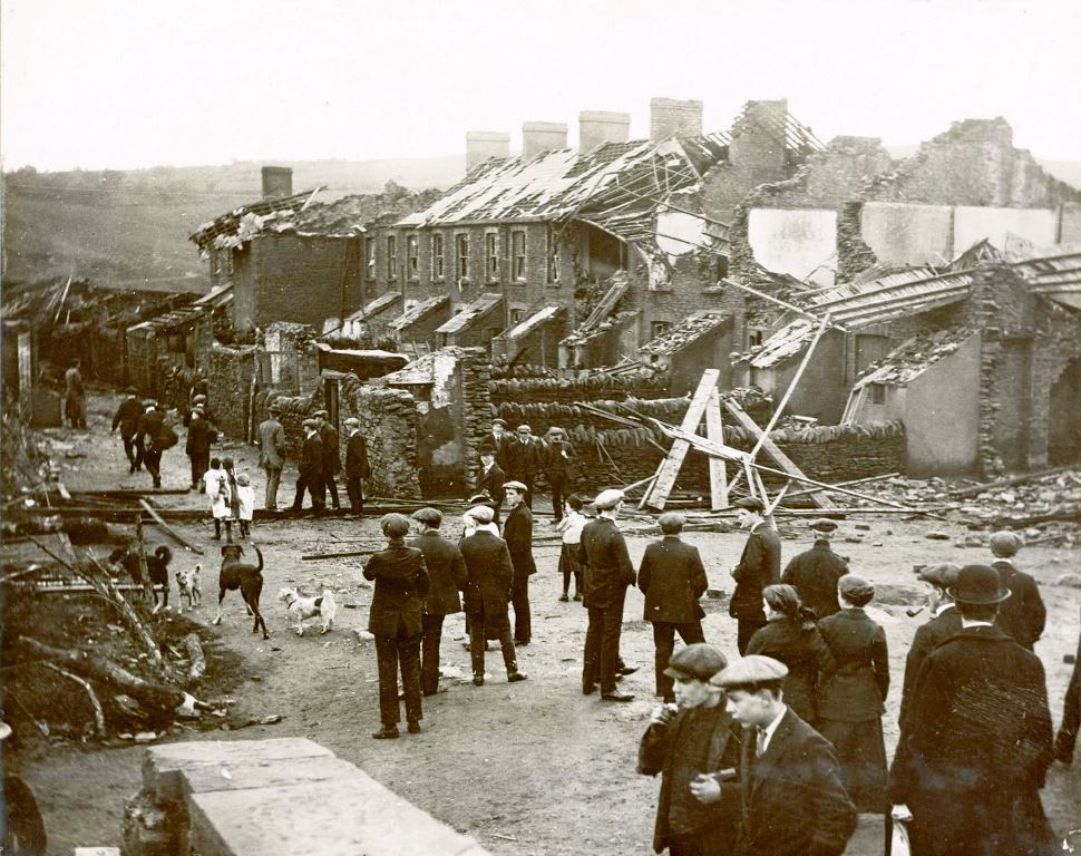
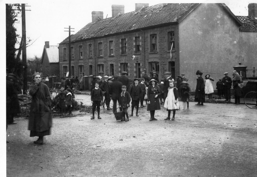
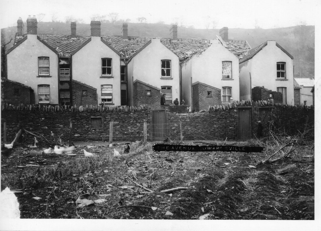


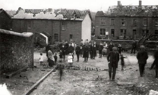
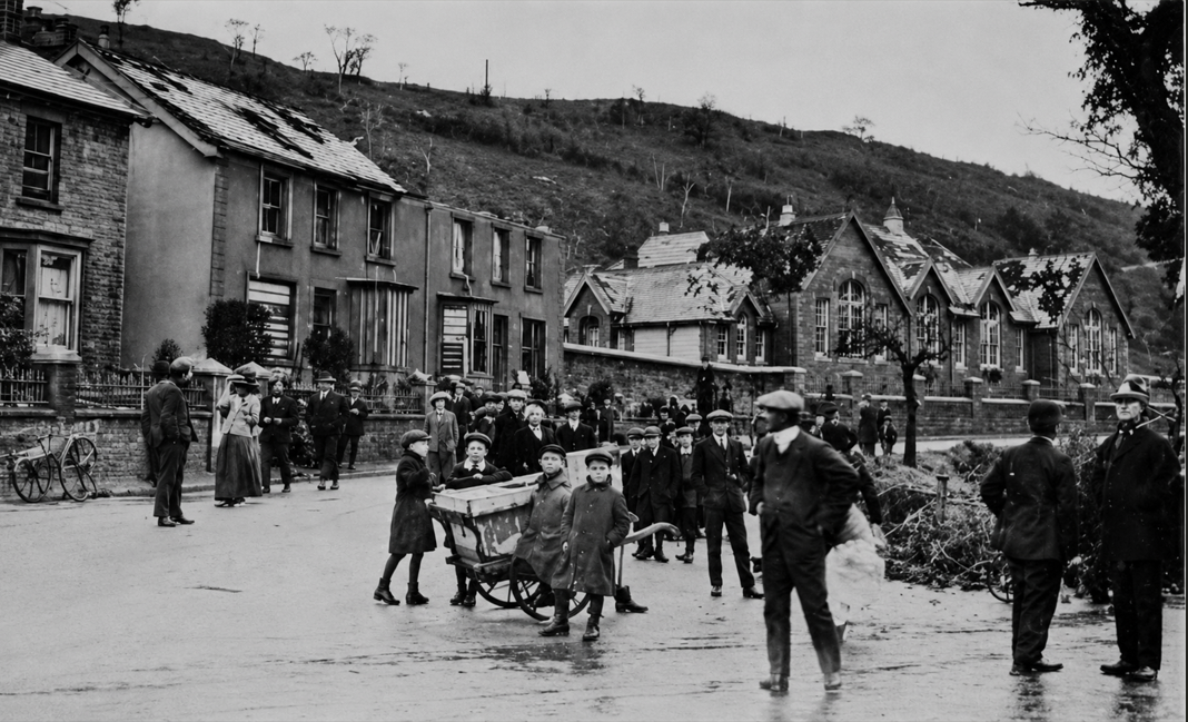
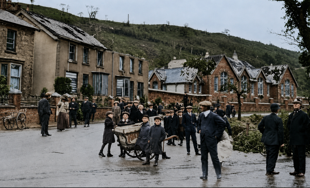
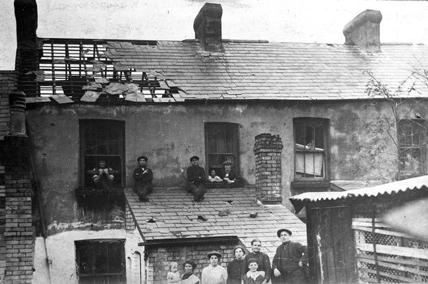
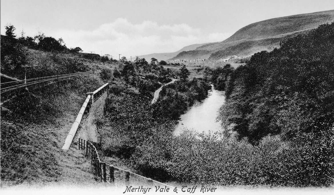
Below we see a very important image, Adrian Evans kindly donated this post card picture to the site, It is dated back to 1908( as you can see from the original stamp on the back of the card pictured below.
The image clearly shows the double track that used to be on that side of the river, it is now covered by the A 470. Big thanks to Adrian for sharing this, a post card of this quality can cost £20 and we can all now have the pleasure of seeing part of our history.
Postcard Stamped Merthyr Vale Aug 08
King Edward 7th on a Half penny stamp

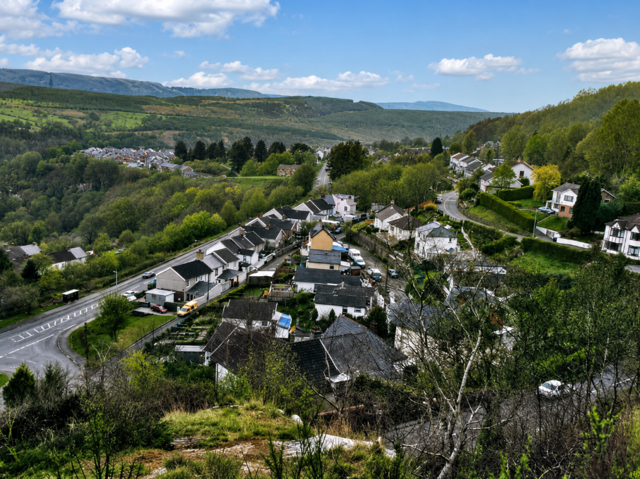
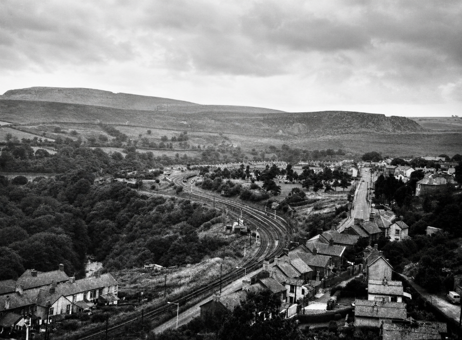
View from Treharrris 1992 ish
Earlier view similar area date unknown
New Development at start of Village (water works)
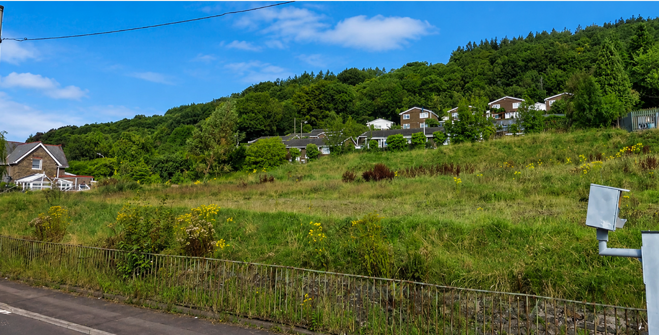
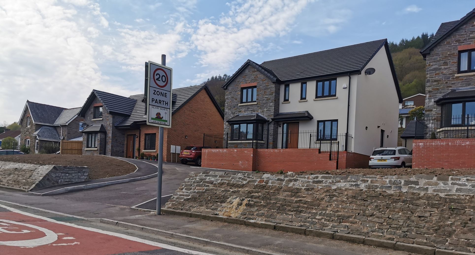
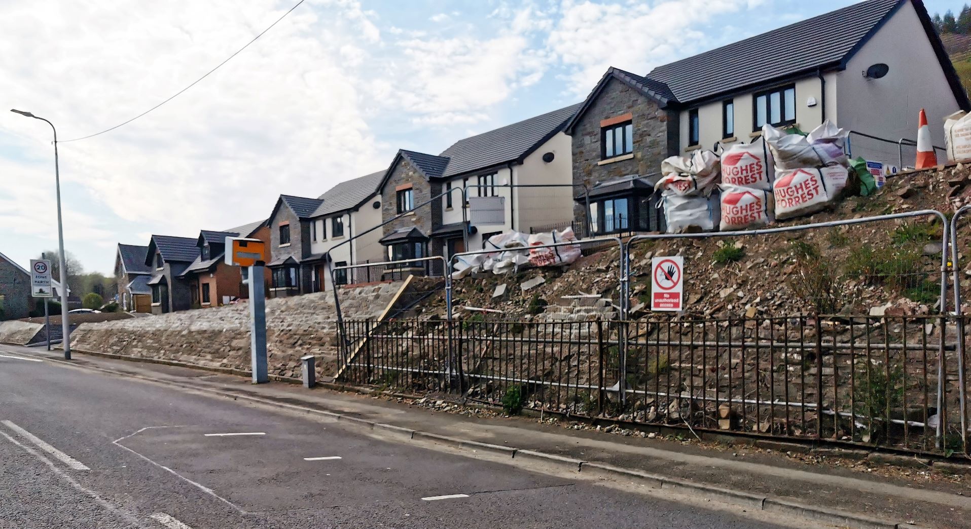
The First picture is 2011 the rest are 2020
The following collection of photographs are all taken from the mountain opposite Edwardsville, they are all courtesy of Adrian Evans.

The old canal bank below the “Gap” once a very important form of transportation for Merthyr Tydfil and Cardiff
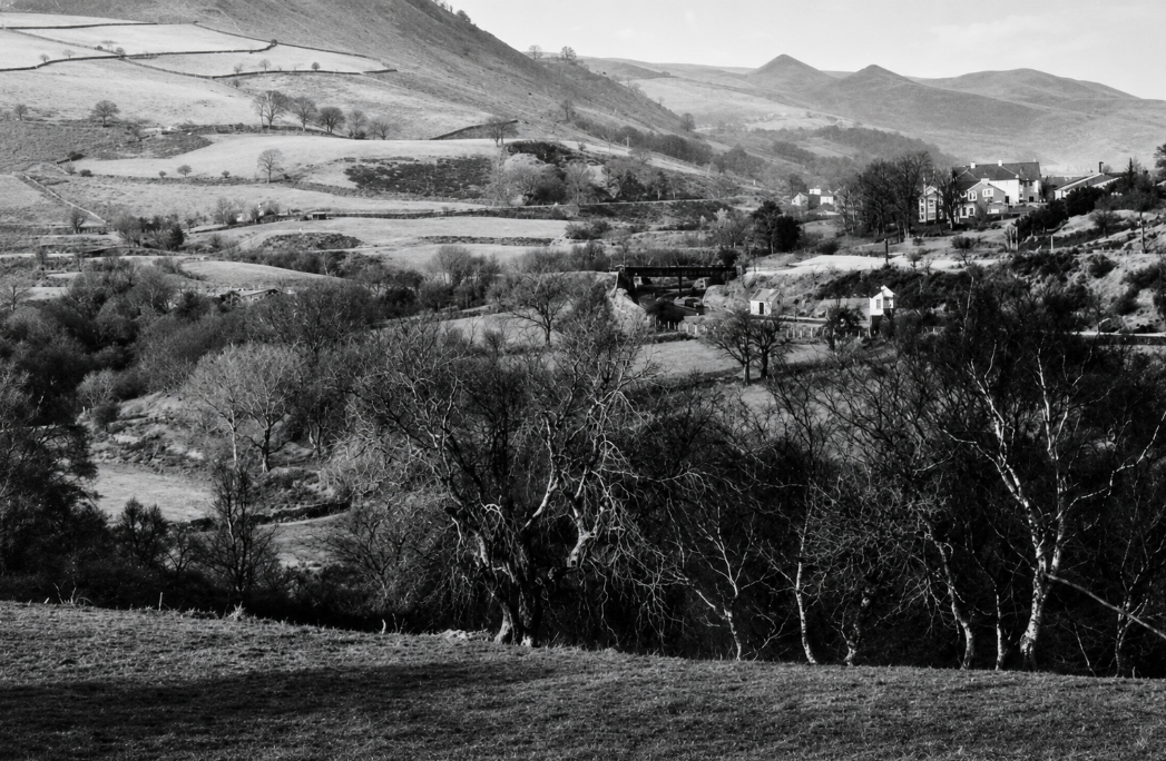
A view of Quakers Yard station and the old truent school
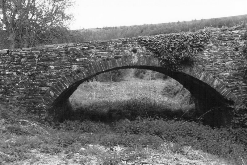

This old bridge used to go over the Merthyr to Cardiff canal, it is located near Pontygaith and some date it back to 1740

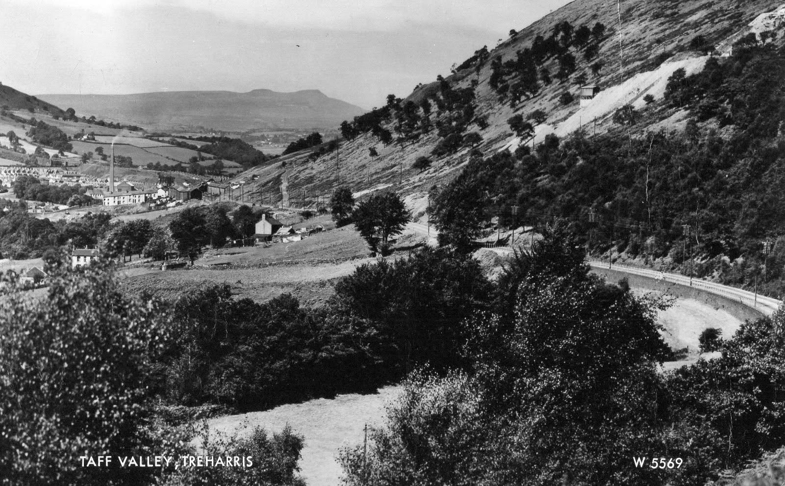
Looking up the valley from Edwardsville
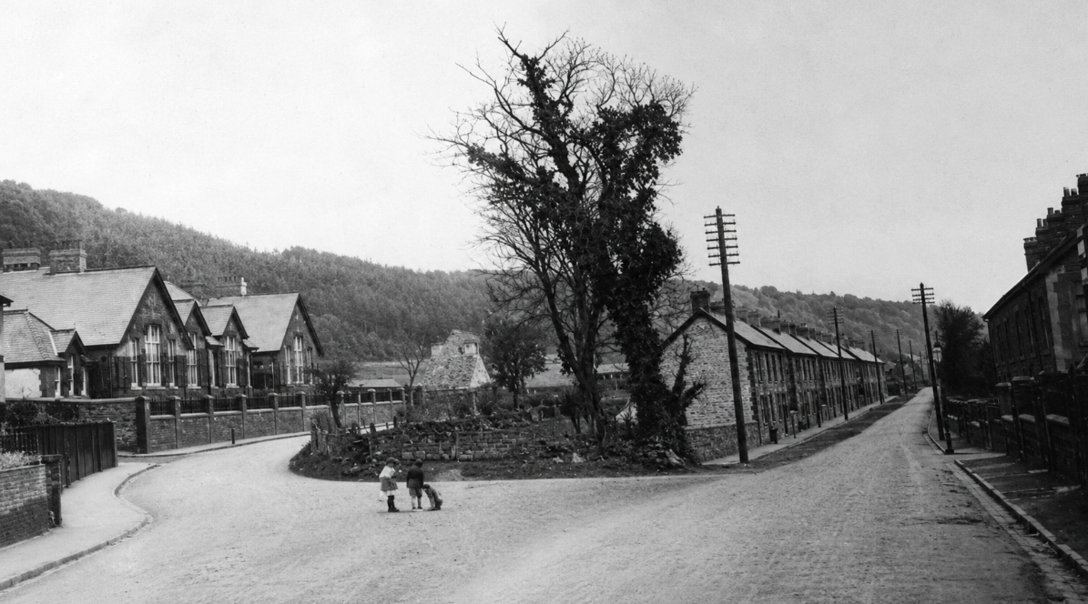
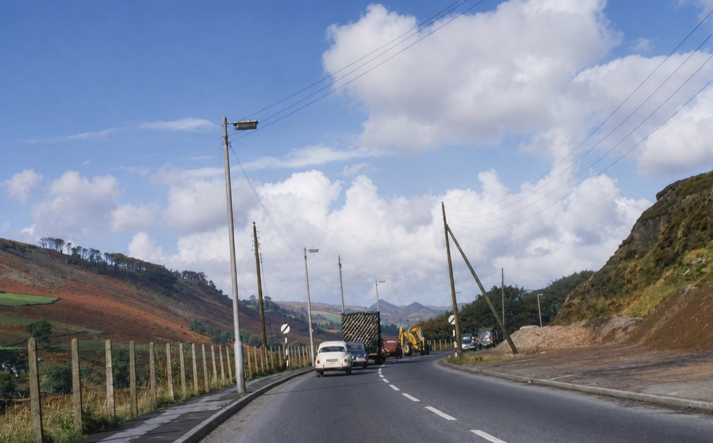
Leaving Edwardsville 1980’s
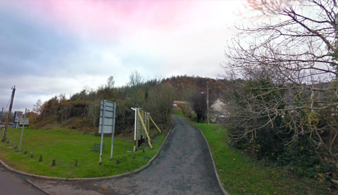
Above we see the old entrance to the Baths 2011
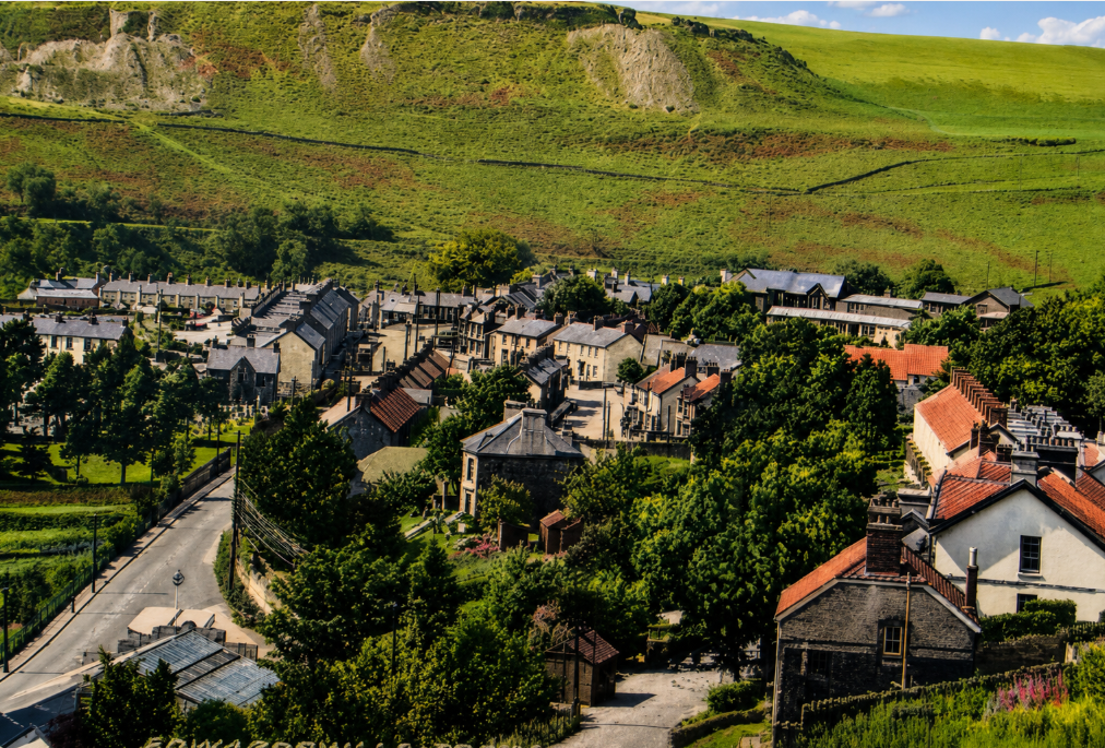
Edwardsville quarry in the distance


Above are 2 pictures of the bridge that went under the railway and led to Buarth Glas Terrace, Pontygwaith with was demolished to allow the A 470 to be built…see Alan George Merthyr Photographs website for more pictures
Ponty gwaith
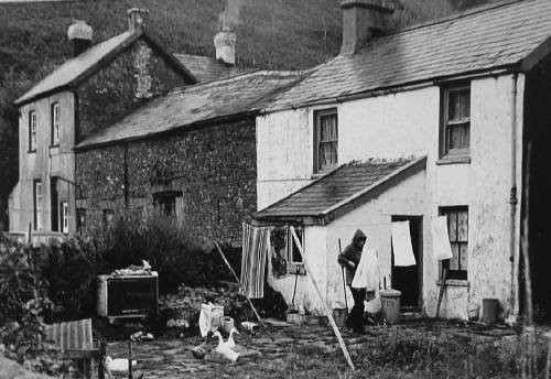


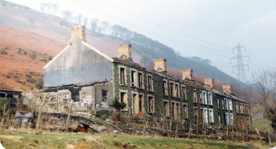
Buarth Glas Terrace
Some more photos thanks to Les Bounds
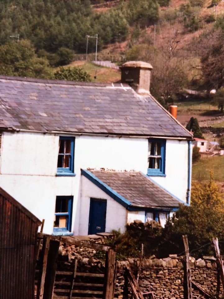

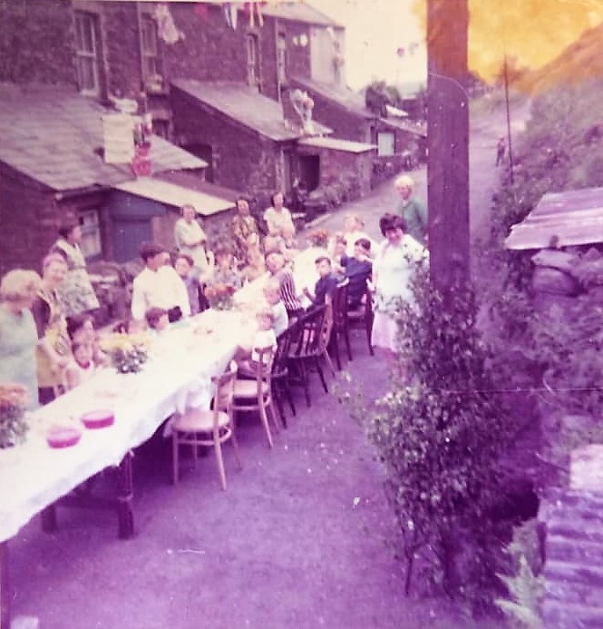
The old Terrace which was demolished

The Pontygwaith Bridge
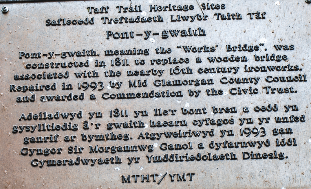

Just North of Edwardsville we find the Pontygwaith bridge, there used to be a very small village nearby. The bridge was built at least 200 years ago,built 1811 to replace a wooden bridge
A Sussex Iron master named Anthony Morley set up a small ironworks here in 1583..It is commonly believed that it was later destroyed by Roundhead soldiers.


Below we see an old road bridge near Pontygwaith (Adrian Evans)

The Gap or Giants Tooth
Why the different names?
- The Gap describes the obvious break in the ridge.
- Giant’s Bite suggests that something enormous has bitten a chunk from the skyline.
- Giant’s Tooth is sometimes explained as the appearance of a missing tooth when the ridge is seen from the valley.
The Gap, also called the Giant’s Bite or Giant’s Tooth, is the conspicuous notch in the ridge of Daren y Celyn—often translated as “Holly Ridge”—above the A470 near Edwardsville and Quakers Yard. Although it is closely associated with Edwardsville and Treharris, the site itself is on the Abercynon/Rhondda Cynon Taf side of the boundary, around OS grid reference ST 0787 9640. Local-history photographs label it “The Gap or Giants Tooth,” while Merthyr Tydfil Council’s Treharris conservation appraisal calls it the “Giant’s Bite.”
The dramatic opening is mainly a quarry scar cut into a natural sandstone ridge, rather than a natural mountain pass. The British Mountaineering Council describes the present crag as “part-natural, part-quarried,” and the British Geological Survey specifically records quarrying at Daren y Celyn
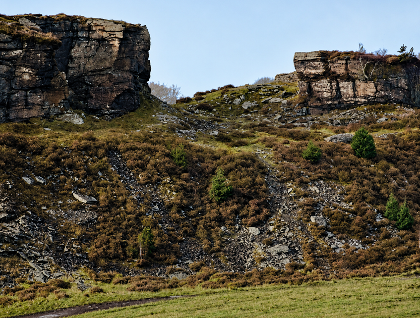
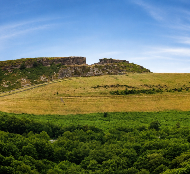

Inside or behind the “gap” (A Evans)


Three more pics above near the gap in 2011 during the winter

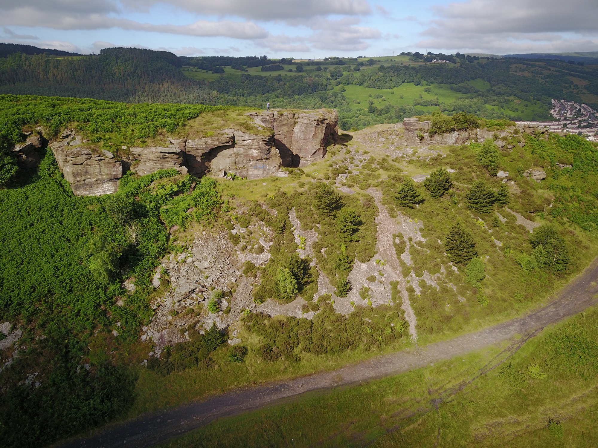
Above we see two Jason Jones photos of the Gap from different angles

Across the valley and in the right of the picture the site of the old Truant school now a housing estate.

Work beginning early 1980’s

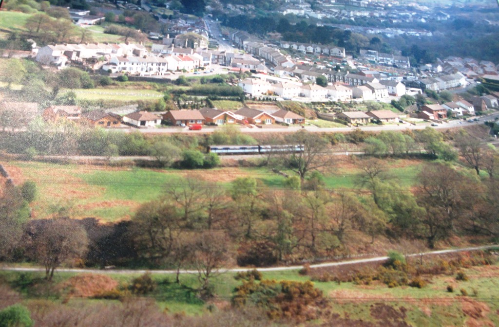
Below from many years ago
Finally some photographs I took in 2012


Birch grove Cemetery
